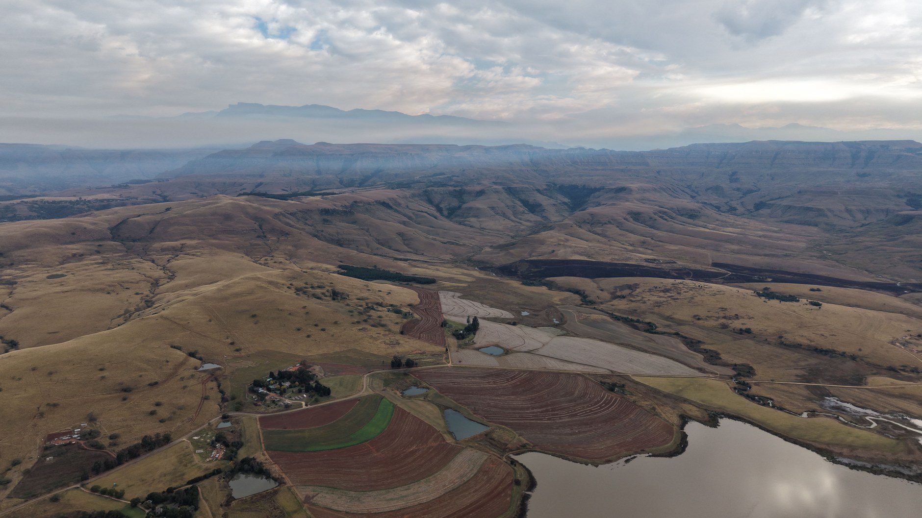
Lesotho occupies an extraordinary geographical niche on the African continent: an independent constitutional monarchy completely enclaved within South Africa, recognized as the only sovereign nation on earth whose entire territory lies above 1,400 meters (4,593 feet) in elevation. Locally celebrated as the “Kingdom in the Sky,” Lesotho is defined by monumental basalt peaks, sheer canyon gorges, cascading alpine waterfalls, and treeless high-altitude plateaus. Here, modern pastoral life coexists with ancient mountain traditions, symbolized by shepherds wrapped in patterned wool blankets riding sturdy Basotho ponies along high mountain ridgelines.
Traveling through Lesotho is fundamentally an expedition through vertical terrain. The kingdom cannot be explored through passive sightseeing or hurried day trips. Paved mountain passes regularly crest 3,000 meters, gravel access roads demand high-clearance four-wheel-drive vehicles, and mountain weather can shift from intense equatorial sunshine to sub-zero blizzards within hours. A well-constructed seven- or eight-day highland circuit connects the formidable gravel ascent of Sani Pass with the monumental plunge of Maletsunyane Falls, the colossal engineering of Katse Dam, and the historic sandstone fortress of Thaba Bosiu.
Entering the Kingdom: Sani Pass vs. Western Lowlands
Planning your entry into Lesotho requires choosing between two fundamentally different border approaches: the legendary eastern ascent via Sani Pass or the paved western border posts near Maseru. Sani Pass is one of the world’s most famous mountain passes, climbing from Underberg in South Africa’s KwaZulu-Natal province to Sani Top at 2,874 meters (9,429 feet) along the crest of the Drakensberg escarpment.
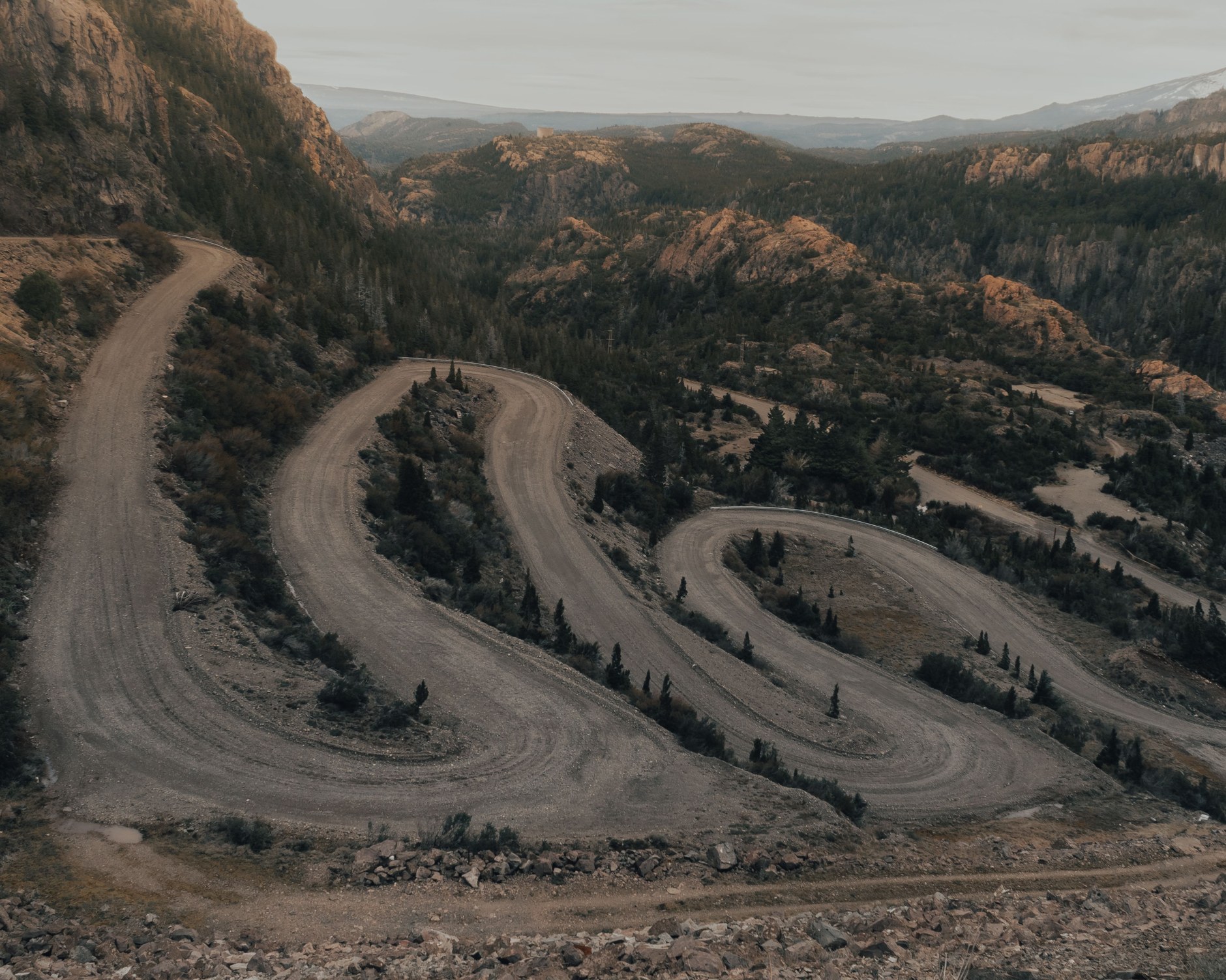
Ascending Sani Pass requires strict adherence to vehicle regulations. South African border police at the lower control post will physically inspect your vehicle and strictly prohibit two-wheel-drive automobiles or standard all-wheel-drive crossovers from attempting the climb. A genuine high-clearance 4WD vehicle equipped with low-range gearing and off-road tires is legally required to navigate the steep, loose-gravel hairpin turns and rock shelves near the summit. The ascent is demanding but magnificent, terminating at Sani Mountain Lodge, home to the self-proclaimed “Highest Pub in Africa,” where travelers warm themselves beside log fireplaces overlooking the South African plains far below.
If you are driving a standard two-wheel-drive rental vehicle or prefer fully paved highways, avoid Sani Pass and enter through the western lowland border posts: Maseru Bridge near the capital, Ficksburg Bridge near Maputsoe, or Caledonspoort near Butha-Buthe. These border gates connect directly to paved national corridors, allowing safe transit across the lowlands and into central highland routes like Katse Dam without encountering severe gravel rock shelves.
The Central Highlands: Sani Top to Thaba-Tseka
From Sani Top, your route penetrates westward into the true Roof of Africa. The gravel highway traverses the desolate alpine plateau of the Mokhotlong district, crossing the Kotisephola Pass (also known as Black Mountain Pass) at an elevation of 3,240 meters (10,630 feet), one of the highest road passes in Southern Africa.
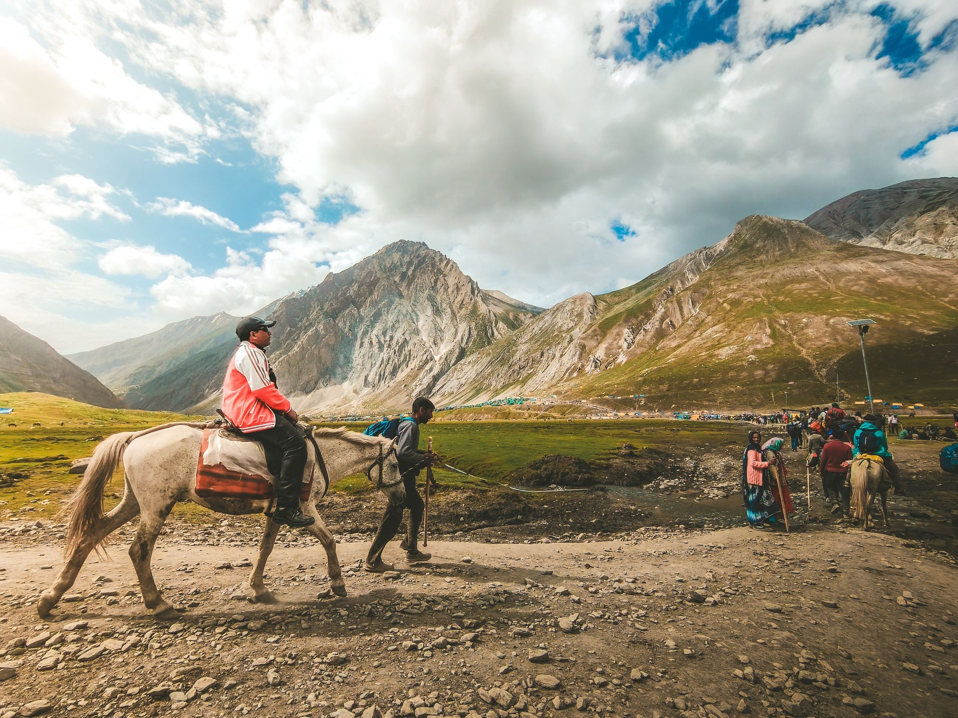
The scenery here is austere and majestic: vast, golden grasslands dotted with basalt outcroppings, clear glacial streams, and isolated stone livestock kraals. You frequently share the gravel road with Basotho herdboys (badisana), young men tasked with guarding cattle, sheep, and angora goats in high mountain pastures. The herdboys are wrapped from head to ankle in traditional patterned Basotho wool blankets (Seanamarena), wearing knitted balaclavas and gumboots, carrying carved wooden fighting sticks (knobkerries) as they move effortlessly across steep mountain scree.
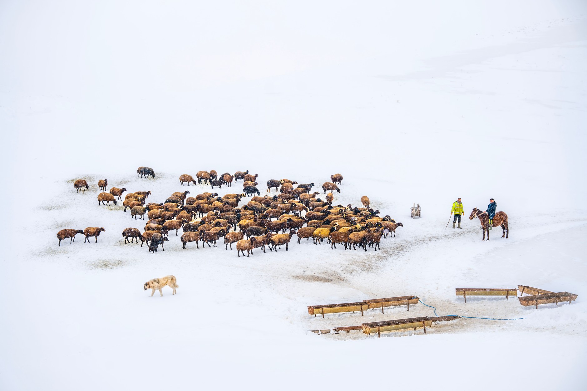
Continue through the regional hub of Thaba-Tseka, an administrative trading town where rural mountain communities congregate on market days. The town offers basic fuel stations, grocery supplies, and bank ATMs before the route descends toward the spectacular artificial waterways of the Lesotho Highlands Water Project.
Thaba Bosiu: Cradle of the Basotho Nation
To understand modern Lesotho, you must understand its founding history. Before penetrating deeper into the southern canyons, detour west toward Thaba Bosiu (“Mountain at Night”), located twenty-four kilometers east of the capital of Maseru. Rising isolated above the Phuthiatsana River valley, this flat-topped sandstone plateau fortress served as the impregnable stronghold of King Moshoeshoe I, the visionary diplomat-king who unified scattered refugee clans during the 1820s Difaqane wars to forge the Basotho nation.
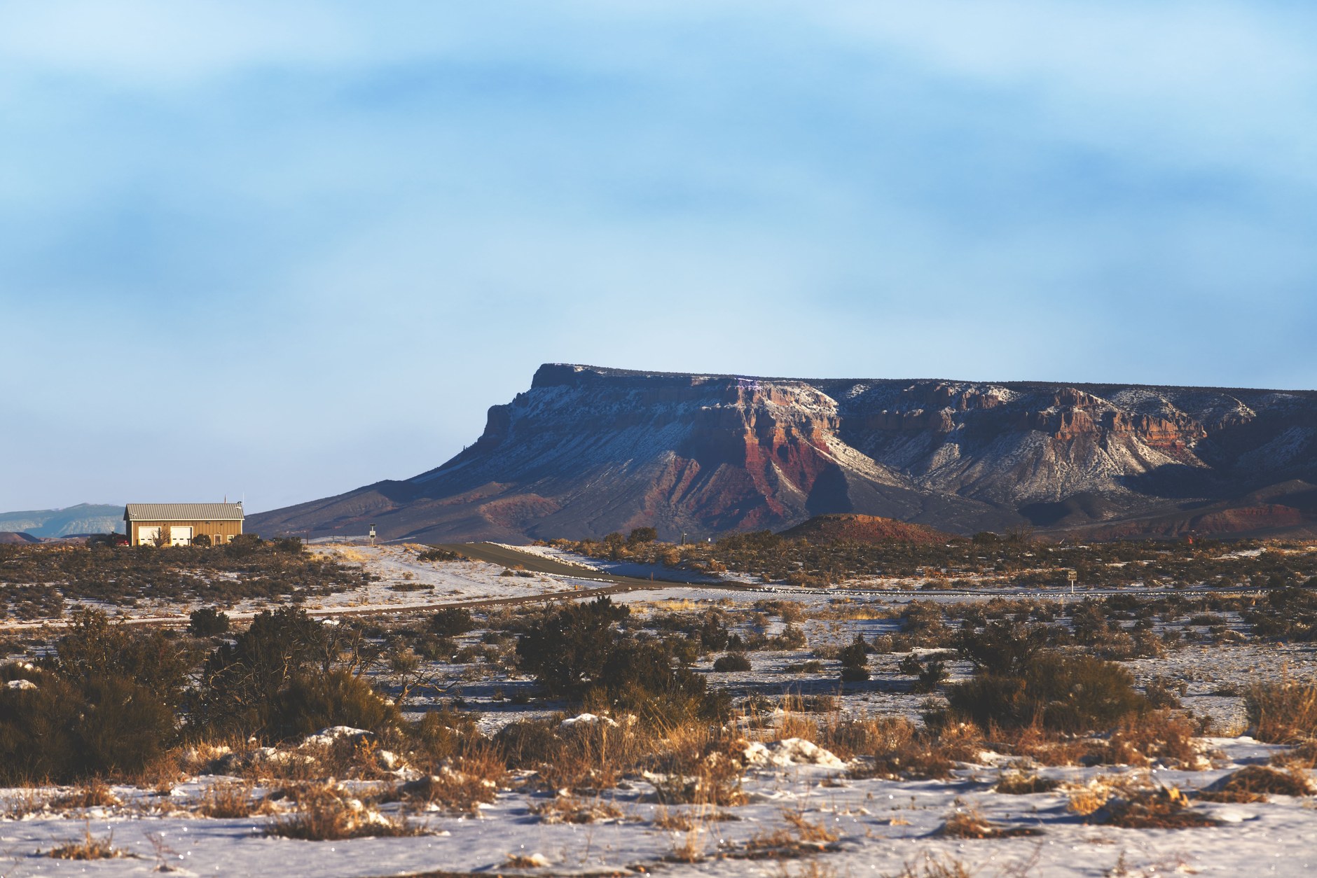
According to national lore, enemies attacking the plateau found it appeared as an ordinary hill by day, but grew into a towering, insurmountable mountain fortress under cover of night. A steep footpath known as the Khubelu Pass leads up the cliff face to the windswept summit plateau. Here, guided historical walks reveal the stone foundations of Moshoeshoe’s royal village, natural freshwater springs that sustained the population during long Boer and British sieges, and the royal burial grounds where Moshoeshoe I and subsequent Basotho monarchs lie buried beneath mounds of basalt stones.
Directly beneath the plateau, the Thaba Bosiu Cultural Village provides an exceptional living museum, showcasing traditional clay and thatch rondavels, demonstrations of indigenous grain grinding, and cultural performances highlighting the significance of the Mokorotlo—the conical woven grass hat modeled after the shape of nearby Qiloane hill that serves as the official national emblem on the flag of Lesotho.
Semonkong and the Maletsunyane Abyss
Travel south through the Central Highlands toward Semonkong, a rugged mountain settlement whose name translates poetically from Sesotho as the “Place of Smoke.” Semonkong owes its name to the thundering plume of water vapor rising from Maletsunyane Falls, located five kilometers outside the village.
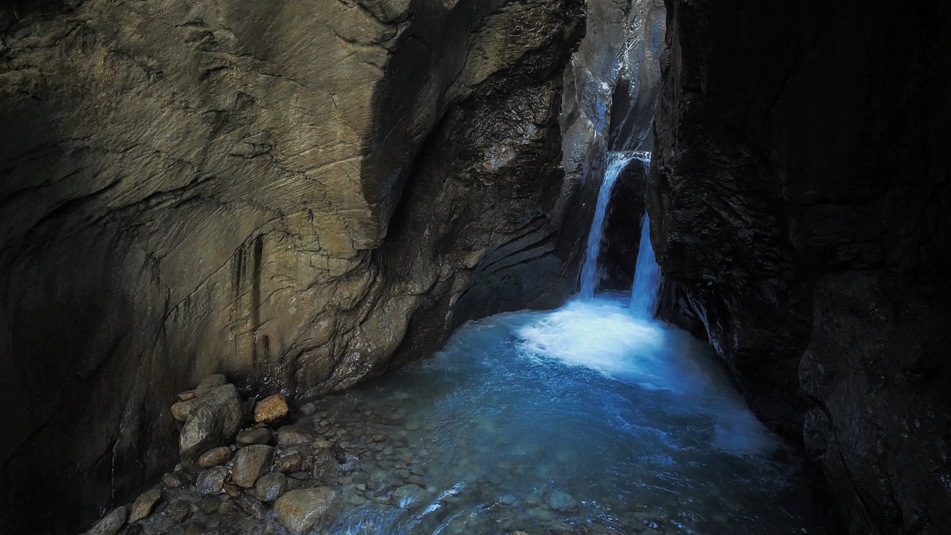
Maletsunyane Falls is one of Africa’s highest single-drop waterfalls, where the Maletsunyane River plunges 192 meters (630 feet) in an unbroken cascade over a sheer basalt amphitheater into an enormous volcanic gorge. In winter, freezing temperatures transform the base of the falls into a massive sixty-foot pyramid of ice, while summer brings thunderous torrents that create permanent spray rainbows arching across the chasm.
For extreme adventure travelers, Semonkong Lodge operates the Guinness World Record commercial abseil: a staggering 204-meter (669-foot) single-rope descent down the sheer basalt cliff face alongside the roaring waterfall. For those preferring terrestrial exploration, the lodge organizes guided pony treks along the canyon rim. Riding sturdy, Sure-footed Basotho ponies—descended from seventeenth-century Cape horses and naturalized to thin mountain air—allows you to explore secluded cliff viewpoints and descend into the canyon base where the deafening spray echoes off vertical volcanic walls.
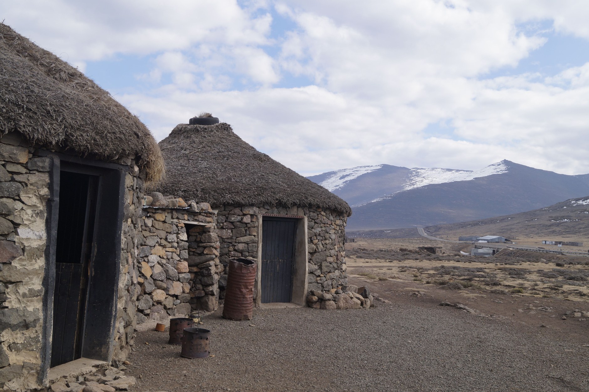
Evenings in Semonkong revolve around local village life. Traditional rondavel accommodations feature thick fieldstone walls and conical thatch roofs that provide natural thermal insulation against freezing mountain night air, heated by interior wood-burning iron stoves. Visiting the village pub offers opportunities to converse with local shepherds and taste traditional sorghum beer.
Alpine Passes and Katse Dam Engineering
From the central plateau, navigate northeast toward Katse Dam, the engineering centerpiece of the multi-billion-dollar Lesotho Highlands Water Project. Reaching Katse from the west requires crossing the spectacular Mafika Lisiu Pass, which summits at 3,090 meters (10,137 feet).
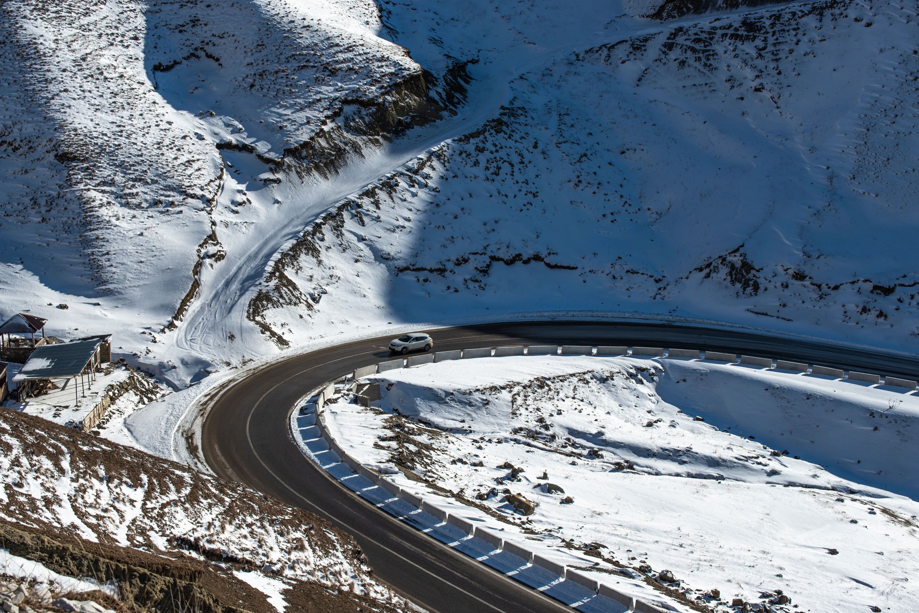
The paved road up Mafika Lisiu represents a triumph of alpine civil engineering, featuring smooth asphalt switchbacks clinging to sheer rock faces. Near the summit, an open-air viewpoint reveals views over jagged peaks and deep agricultural valleys where terraced fields of maize and sorghum cling to steep slopes. Note that during winter months (June through August), Mafika Lisiu is routinely closed by heavy snowfalls and treacherous black ice; carrying tire chains or checking road clearance with local authorities is mandatory.
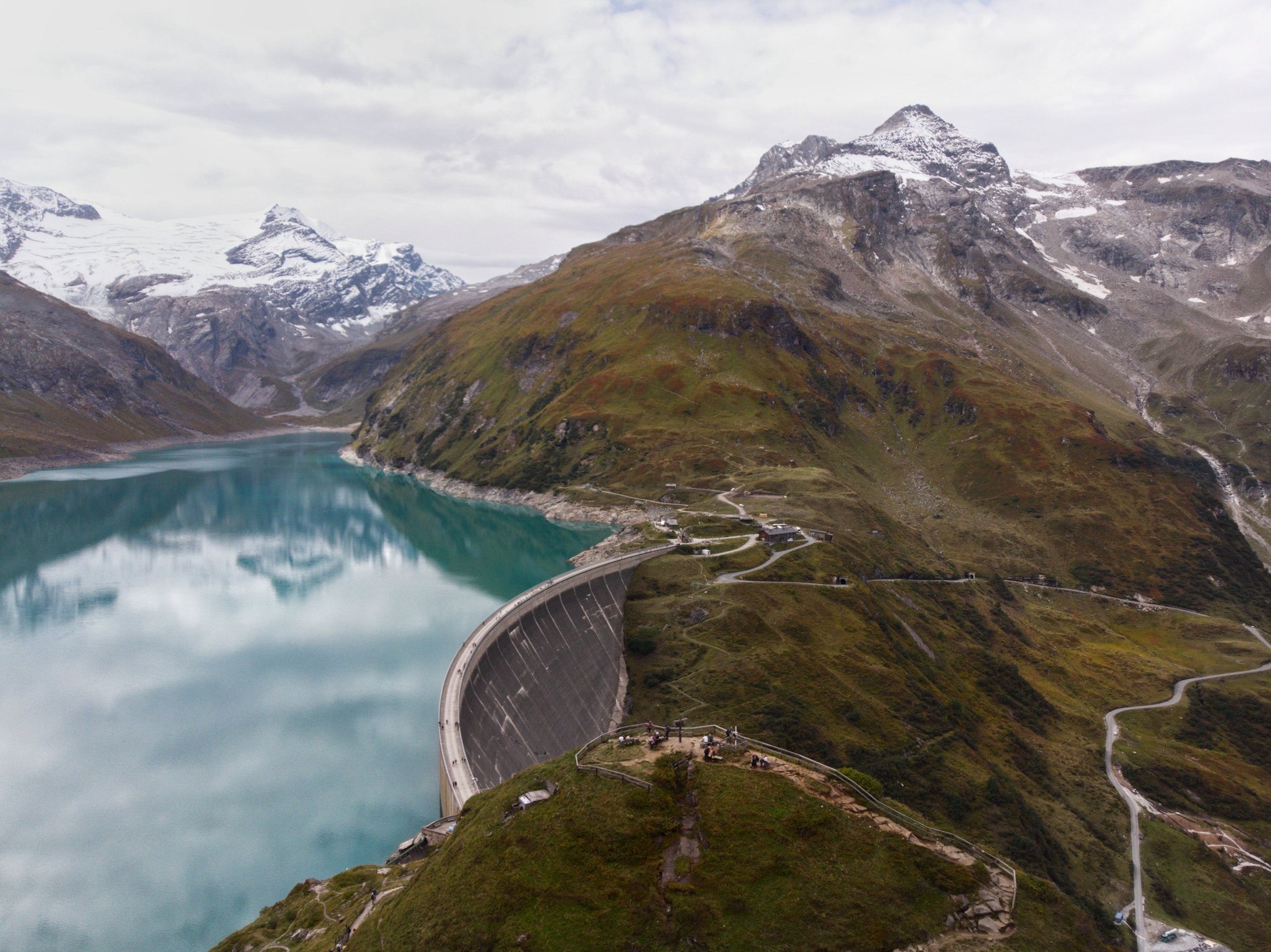
Descending the eastern flank delivers you to Katse Dam, a colossal double-curvature concrete arch dam rising 185 meters above the Malibamat’so River riverbed. Katse captures pristine alpine runoff and transfers it northward through an intricate network of subterranean tunnels carved through solid basalt mountains to feed South Africa’s industrial heartland in Gauteng, generating domestic hydroelectric power for Lesotho in the process. Guided tours lead visitors inside the hollow concrete galleries of the dam wall, while the adjacent Katse Botanical Garden preserves thousands of indigenous alpine plants rescued during reservoir inundation, including the rare, spiraling national flower, the spiral aloe (Aloe polyphylla).
8-Day Lesotho Highland Circuit Itinerary
This compact itinerary balances the dramatic 4WD gravel ascent of Sani Pass with the deep basalt canyons of Semonkong and the engineering majesty of Katse Dam. Pacing reflects realistic mountain driving speeds of 40 to 50 km/h.
| Day / Stage | Base | Highlights | Transport Mode | Transit Time | Advance Booking Requirement |
|---|---|---|---|---|---|
| Day 1 | Sani Top | Sani Pass 4WD gravel climb, Highest Pub in Africa, alpine sunset | High-clearance 4WD | 2.5 hours from Underberg | Book Sani Mountain Lodge weeks ahead |
| Day 2 | Thaba-Tseka | Kotisephola Pass (3,240m), alpine plateau, shepherd kraals | High-clearance 4WD | 4 hours gravel driving | Confirm 4WD fuel range before departure |
| Day 3 | Katse Dam | Scenic river valleys, Katse Dam wall tour, Botanical Garden | 4WD / paved road | 3 hours driving | Book Katse Lodge accommodation in advance |
| Day 4 | Semonkong | Mafika Lisiu Pass (3,090m), scenic switchbacks, mountain descent | Paved & gravel roads | 4.5 hours driving | Check pass clearance for winter snow/ice |
| Day 5 | Semonkong | Maletsunyane Falls 192m drop, Basotho pony trek to gorge rim | Basotho pony / hiking | Full day exploration | Arrange pony trek at Semonkong Lodge |
| Day 6 | Malealea | Drive south through Roma valley, Malealea village choir & culture | Gravel & paved roads | 3.5 hours driving | Reserve Malealea Lodge stone rondavel |
| Day 7 | Maseru / Roma | Thaba Bosiu historic fortress walk, cultural village, Qiloane view | Paved road | 2 hours driving | Book certified Thaba Bosiu site guide |
| Day 8 | Maseru Bridge | Craft market woven hats, border clearance to South Africa | Paved highway | 30 mins to border | Spend or exchange Maloti before crossing |
Field Connectivity and Mountain Logistics
Telecommunications across Lesotho reflect the harsh realities of alpine topography. The country’s primary cellular provider, Vodacom Lesotho, maintains robust LTE coverage across the capital of Maseru, major regional towns like Mokhotlong and Thaba-Tseka, and around major infrastructure sites like Katse Dam and Semonkong village. However, deep mountain valleys, high passes like Mafika Lisiu, and remote gravel gorges lack line-of-sight cellular signals. Installing an NXTL Lesotho eSIM before departing South Africa ensures automatic connectivity the moment you clear border posts at Sani Top or Maseru Bridge. Your balance never expires, and unused credit stays available for later trips across more than 180 countries.
Active mobile internet is critical for mountain safety: you will need data to monitor sudden alpine weather forecasts from the Lesotho Meteorological Services, download offline topographic GPS navigation maps before driving into remote gravel corridors, and communicate with mountain lodges regarding pass conditions and gate closures. Retaining your domestic primary SIM in a dual-SIM smartphone guarantees you continue receiving essential two-factor authentication banking texts while utilizing your eSIM profile for all local navigation and data traffic without expensive international roaming fees.
Alpine Meteorology: Snow, Ice, and Sun Protection
Lesotho’s high elevation dictates a true alpine climate completely distinct from subtropical South Africa. The winter months (June through August) bring sub-zero night temperatures that routinely drop to 15 degrees Fahrenheit (-10 degrees Celsius). Heavy snowfalls blanket mountain passes, and black ice forms across shaded asphalt switchbacks. Afriski Mountain Resort in the northern Maloti Mountains operates commercial ski lifts during these months. Travelers visiting in winter must carry thermal base layers, windproof down jackets, insulated boots, and vehicle recovery equipment.
Summer (November through March) brings warm daytime temperatures averaging 75 to 80 degrees Fahrenheit, but afternoons frequently trigger violent, fast-moving thunderstorms accompanied by torrential rain, high-velocity winds, and dangerous hail. High elevation also produces intense ultraviolet radiation; wide-brimmed hats, polarized sunglasses, and high-SPF sunscreen are essential even on overcast days. Layering clothing is the golden rule of mountain travel in Lesotho: always keep warm, waterproof shells accessible inside the vehicle cabin rather than packed deep in luggage.
Currency and Financial Operations
The official currency of Lesotho is the Lesotho Loti (LSL; plural Maloti), which is pegged at an absolute 1:1 ratio to the South African Rand (ZAR) under the Common Monetary Area agreement. South African Rand banknotes and coins are universally accepted as legal tender throughout Lesotho alongside the Loti, with identical purchasing power.
However, travelers must be aware of an essential financial trap: while South African Rand is accepted everywhere in Lesotho, the Lesotho Loti is NOT accepted back in South Africa outside of immediate border towns. When paying with South African Rand at grocery stores, restaurants, or fuel stations in Lesotho, change is almost invariably returned in Maloti. Always inspect your change carefully, and ensure you spend or exchange all Maloti banknotes before crossing the border back into South Africa.
Credit cards (Visa and Mastercard) are accepted at established lodges such as Sani Mountain Lodge, Katse Lodge, and Semonkong Lodge. However, rural fuel stations, village handicraft markets, horse guides, and community museum fees operate strictly on cash. Bank ATMs (Standard Lesotho Bank, Nedbank, FNB) are available in Maseru, Mokhotlong, and Thaba-Tseka, but frequently run out of banknotes on public holiday weekends. Always carry substantial South African Rand cash before crossing into the kingdom.
Common Scams and Mountain Hazards
Lesotho is generally a peaceful and welcoming country where violent crime against tourists is rare outside isolated urban neighborhoods of Maseru at night. However, navigating high-altitude mountain environments requires specific practical vigilance.
- The Sani Pass 2WD Border Rejection: Travelers attempting to drive ordinary rental cars up Sani Pass from South Africa are routinely turned back by South African border police at the lower post, forfeiting prepaid lodge bookings at Sani Top. Always reserve a verified 4WD vehicle with low-range capability, or book an organized 4WD tour from Underberg.
- The Stray Maloti Currency Exit Trap: Accumulating hundreds of Maloti in cash change during your road trip and attempting to spend them in South Africa leads to total refusal by South African banks and merchants. Spend all Maloti notes on fuel and dining before border clearance, or ask merchants for change in South African Rand.
- Winter Black Ice and Sudden Mountain Pass Closures: Alpine passes like Mafika Lisiu and Sani Pass regularly freeze over with invisible black ice between May and September, causing severe vehicle rollovers and pass closures. Check morning road condition reports with lodge managers before driving over passes, and avoid traveling before 9:00 AM when ice is slickest.
- Roadside Begging and Stone-Throwing Risks: In remote mountain passes, herdboys and children frequently line the roadside shouting for sweets (“lipompong”) or money. Never throw sweets, coins, or fruit from moving vehicle windows; this encourages children to dart into the path of oncoming traffic. If ignored, frustrated children occasionally throw stones at vehicle panels; maintain a steady, safe driving speed and do not engage.
- Unregulated Pony Trekking Without Mountain Helmets: Informal horse owners in rural villages often offer cheap, unguided pony rides along canyon rims. These horses may lack proper saddle tack, and operators rarely carry first-aid gear or riding helmets. Always book pony treks through recognized community lodges (such as Semonkong Lodge or Malealea Lodge) that employ vetted guides and provide safety gear.
Slower and Shorter Route Adjustments
If your schedule allows for only four or five days, do not attempt to traverse the entire central highlands to Katse Dam. The most rewarding short itinerary is a focused eastern mountain escape: climb Sani Pass in a 4WD vehicle, spend two nights at Sani Top hiking along the Drakensberg escarpment edge and visiting local Basotho shepherd villages, and spend two nights in the northern lowlands near Clarens exploring Golden Gate and Butha-Buthe.
Travelers with ten to twelve days can complete the full grand loop of the kingdom. From Semonkong, continue southwest to Malealea Lodge for multi-day wilderness pony treks along the Makhaleng River, explore ancient San rock art paintings in sheltered sandstone caves, visit the dinosaur footprints near Morija, and conclude with an ascent into the alpine wilderness of Sehlabathebe National Park—Lesotho’s secluded UNESCO World Heritage site renowned for weathered sandstone arches, rare water lilies, and complete wilderness solitude.