The “Netherlands Antilles” no longer appears on modern geopolitical maps. On October 10, 2010 (“10-10-10”), the autonomous Caribbean federation officially dissolved. In its place emerged a modern constitutional framework: Sint Maarten and Curaçao became independent constituent countries within the Kingdom of the Netherlands, while the islands of Bonaire, Sint Eustatius (Statia), and Saba transformed into special overseas Dutch municipalities known as the Caribbean Netherlands or the BES islands.
Yet in international telecommunications architecture and cellular roaming agreements, the legacy term persists. On networks like NXTL, the Netherlands Antilles profile represents the coordinated footprints of TELCELL on Sint Maarten and Setel (UTS / Chippie) across Bonaire, Saba, and Sint Eustatius. With Curaçao covered in its own dedicated guide, this itinerary provides the planning framework for the rest of the former territory: the transit hub of Sint Maarten, the volcanic cliffs of Saba, the maritime history of Statia, and the coral sanctuaries of Bonaire.
Sint Maarten, Saba, and Statia form the northern “SSS islands,” clustered in the Windward group. Bonaire lies more than eight hundred kilometers south off the Venezuelan coast in the Leeward Antilles. A ten-day journey bridges these distinct Caribbean worlds through disciplined planning, short inter-island flights, and fast ferry crossings.
This route suits independent travelers, active scuba divers, and maritime history enthusiasts rather than visitors seeking an all-inclusive resort stay. Each island possesses distinct currency rules, transport systems, marine regulations, and geography.
Navigating the Dissolution: SSS Islands vs. BES Municipalities
When the federation dissolved, the territory divided into two administrative categories. Sint Maarten functions as an autonomous country within the Dutch Kingdom, sharing its thirty-seven-square-mile territory with French Saint-Martin across an open border established by the 1648 Treaty of Concordia.
By contrast, Bonaire, Saba, and Sint Eustatius integrated directly into the Netherlands as special Dutch municipalities (openbare lichamen). Dutch civil frameworks, strict environmental enforcement, and the Caribbean Netherlands Police Force (KPCN) govern these islands under European Dutch administrative standards.
Sint Maarten retains the Netherlands Antillean Guilder (ANG, pegged at 1.79 ANG per US Dollar), though US Dollars are accepted across every cash register and restaurant. In contrast, the BES municipalities retired the guilder in 2011, adopting the US Dollar (USD) as official legal tender. Carrying US Dollar cash in small denominations works smoothly across all four islands.
While Dutch remains an official language on legal documents, English is the everyday vernacular spoken natively on Sint Maarten, Saba, and Statia. On Bonaire, Papiamento serves as the mother tongue alongside fluent English, Dutch, and Spanish.
The 10-Day Dutch Caribbean Island-Hopper Route
Executing a multi-island itinerary across both regions requires pacing transfers around flight schedules. A ten-day itinerary provides the ideal balance: three nights on Sint Maarten, two nights on Saba, two nights on Statia, and three nights on Bonaire.
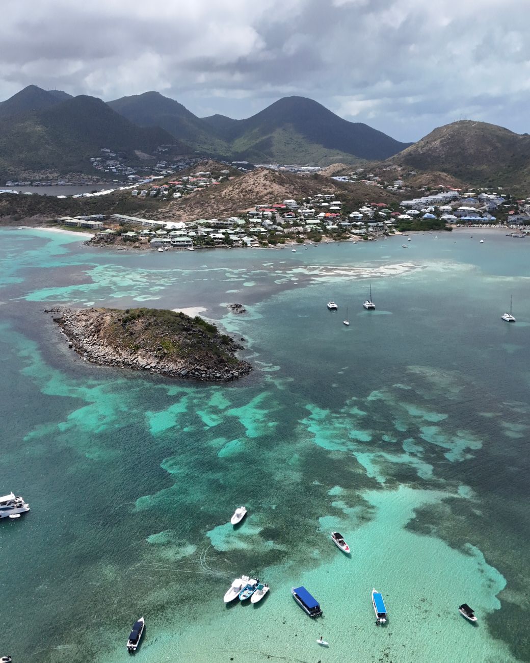
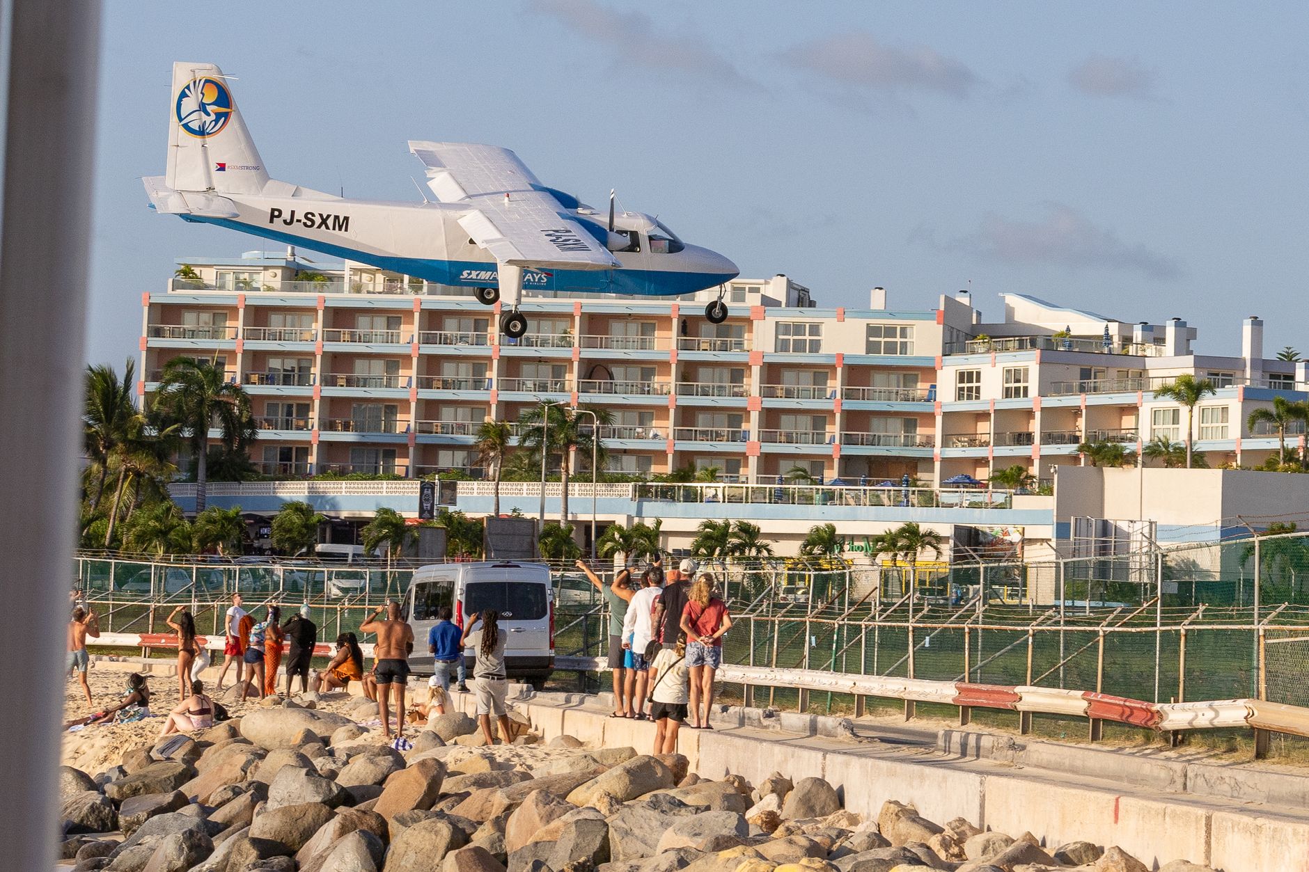
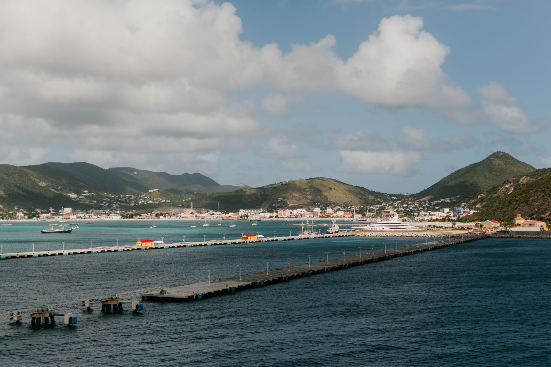
Begin with three nights based on Sint Maarten. Princess Juliana International Airport (SXM) serves as the primary gateway, receiving direct flights from North America and Europe. Dedicate your first afternoon to experiencing Maho Beach, where passenger jets glide low over the sand before touchdown on runway 10. Base yourself in Simpson Bay or near Philipsburg for access to marinas, dining, and ferry docks.
On your second day on Sint Maarten, explore the dual cultures of the island. Drive into French Saint-Martin without border controls to browse the outdoor market in Marigot, climb Fort Louis for sweeping coastal views, and enjoy classical French dining in Grand Case. On day three, board an early-morning ferry or Winair STOL flight southwest to Saba.
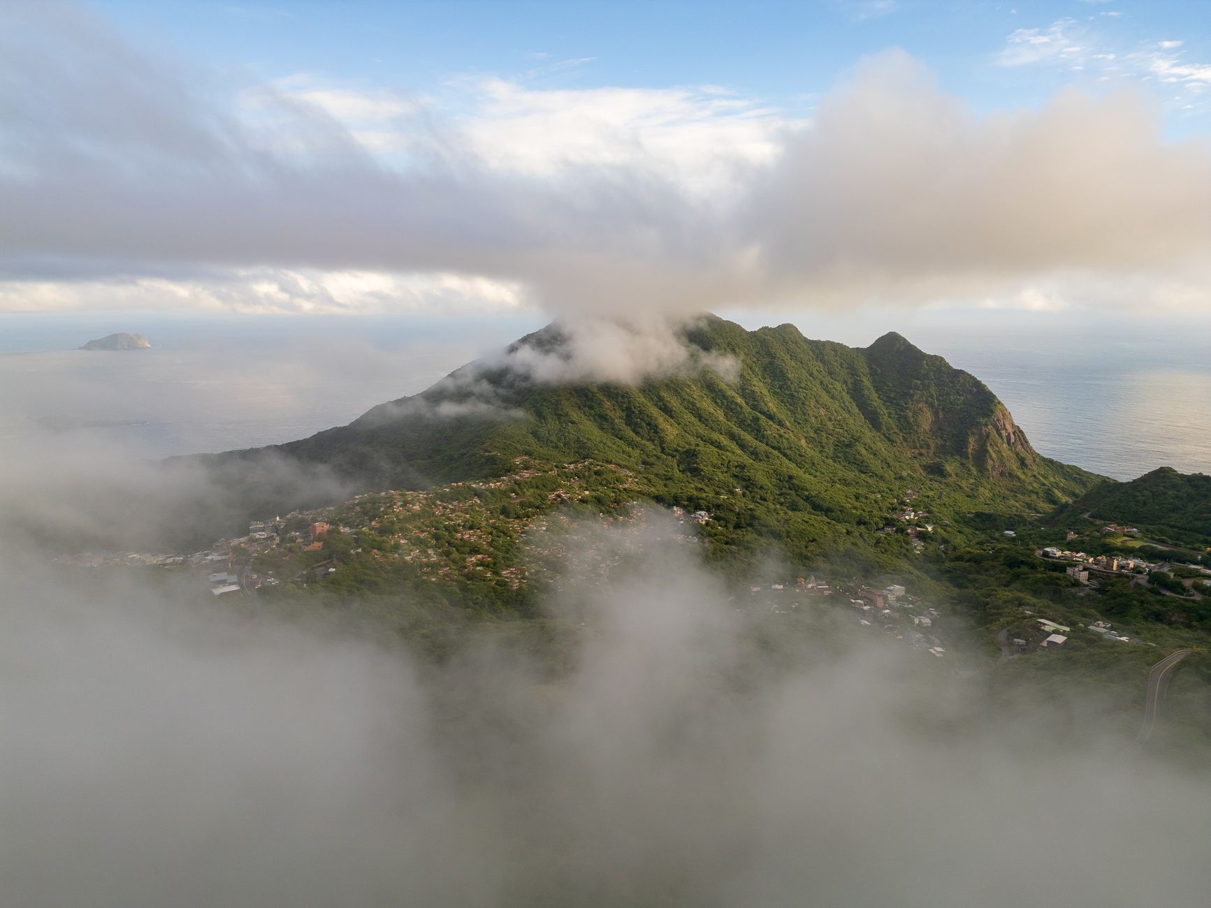
Saba, known as “The Unspoiled Queen,” is an emerald volcanic pinnacle rising steeply from the sea. Spend two nights in Windwardside or The Bottom. Hike the 1,064 stone steps through elfin cloud forest to the 887-meter summit of Mount Scenery—the highest point in the Kingdom of the Netherlands. Saba lacks sandy beaches, but its offshore pinnacle dives rank among the most spectacular in the world.
On day six, take the Makana ferry to Sint Eustatius for two nights. Known locally as Statia, this serene island was once a preeminent eighteenth-century trading port called “The Golden Rock.” Explore the stone ruins of Lower Town Oranjestad, visit Fort Oranje, and hike down into the lush crater of The Quill, an extinct volcano whose rim rises six hundred meters above sea level.
On day eight, fly south via regional connection to Bonaire for your final three nights. Settle into Kralendijk, pick up a double-cab rental pickup truck, and spend your days shore diving, snorkeling fringing reefs, exploring the pink salt flats of Pekelmeer, and windsurfing in Lac Bay.
Ten-Day Dutch Caribbean Itinerary Overview
| Day / Stage | Base | Highlights | Transport Mode | Transit Time | Advance Booking Requirement |
|---|---|---|---|---|---|
| Days 1–3 | Simpson Bay (Sint Maarten) | Maho Beach plane landings, Philipsburg boardwalk, Grand Case French dining | Rental Car | 30–45 min local driving | Book rental vehicle and SXM arrivals 4–6 weeks ahead |
| Days 4–5 | Windwardside (Saba) | Mount Scenery cloud forest summit, Saba Marine Park pinnacle diving, The Road | Winair STOL Flight / Ferry | 15 min flight / 90 min ferry | Reserve Winair flights or Makana ferry 6–8 weeks in advance |
| Days 6–7 | Oranjestad (Sint Eustatius) | The Quill volcano crater hike, Fort Oranje historic fortress, Lower Town dive sites | Makana Ferry / Regional Flight | 45 min ferry from Saba | Confirm ferry schedule and Quill hiking permit locally |
| Days 8–10 | Kralendijk (Bonaire) | Shore diving 1000 Steps, Pekelmeer pink flamingos, salt pyramids, Lac Bay | Winair / Divi Divi Air + Pickup Truck | 1 hr 45 min flight via hub | Purchase STINAPA marine tag online; reserve pickup truck |
If your schedule permits only seven days, focus exclusively on the northern group (Sint Maarten, Saba, and Statia) to eliminate the long inter-island flight, or fly straight to Bonaire for an uninterrupted week of dedicated shore diving and coastal exploration.
Inter-Island Transit: Winair STOL Aircraft vs. Fast Ferries
Mastering transit between these islands requires understanding transportation operating out of Sint Maarten. Winair (Windward Islands Airways), based at Princess Juliana Airport, is the primary carrier serving the northern Dutch Caribbean, operating rugged de Havilland Canada DHC-6 Twin Otter aircraft built for Short Takeoff and Landing (STOL) runways.
Landing on Saba aboard a Winair Twin Otter is an unforgettable aviation experience. Juancho E. Yrausquin Airport features the shortest commercial runway in the world at four hundred meters. Flanked by cliffs and steep ocean drop-offs, landing here demands specialized pilot certification. Flights from Sint Maarten take just twelve minutes, offering aerial views of turquoise shoals and volcanic peaks.
Winair strictly enforces baggage limits. Because Twin Otter aircraft operate with tight weight parameters, checked luggage is limited to fifteen to twenty kilograms per traveler. Bags are weighed at check-in, and excess luggage incurs steep fees or may travel on subsequent flights. Pack flexible duffel bags rather than hard-shell suitcases to ease aircraft loading.
For maritime travel, high-speed ferries provide a scenic alternative. The Makana Ferry Service operates scheduled connections between Bobby’s Marina in Philipsburg (Sint Maarten), Saba’s Fort Bay, and Statia’s Gallows Bay harbor. In addition, the passenger ferry The Edge operates regular runs between Simpson Bay Marina on Sint Maarten and Saba.
The Saba Channel crossing traverses open ocean exposed to Atlantic swells. The ninety-minute voyage can become distinctly turbulent when trade winds freshen. If you are prone to motion sickness, taking preventive medication forty-five minutes before boarding is essential. Morning ferry departures generally encounter calmer seas than late-afternoon crossings.
Bonaire: Shore Diving Capital, Salt Flats & Marine Protection
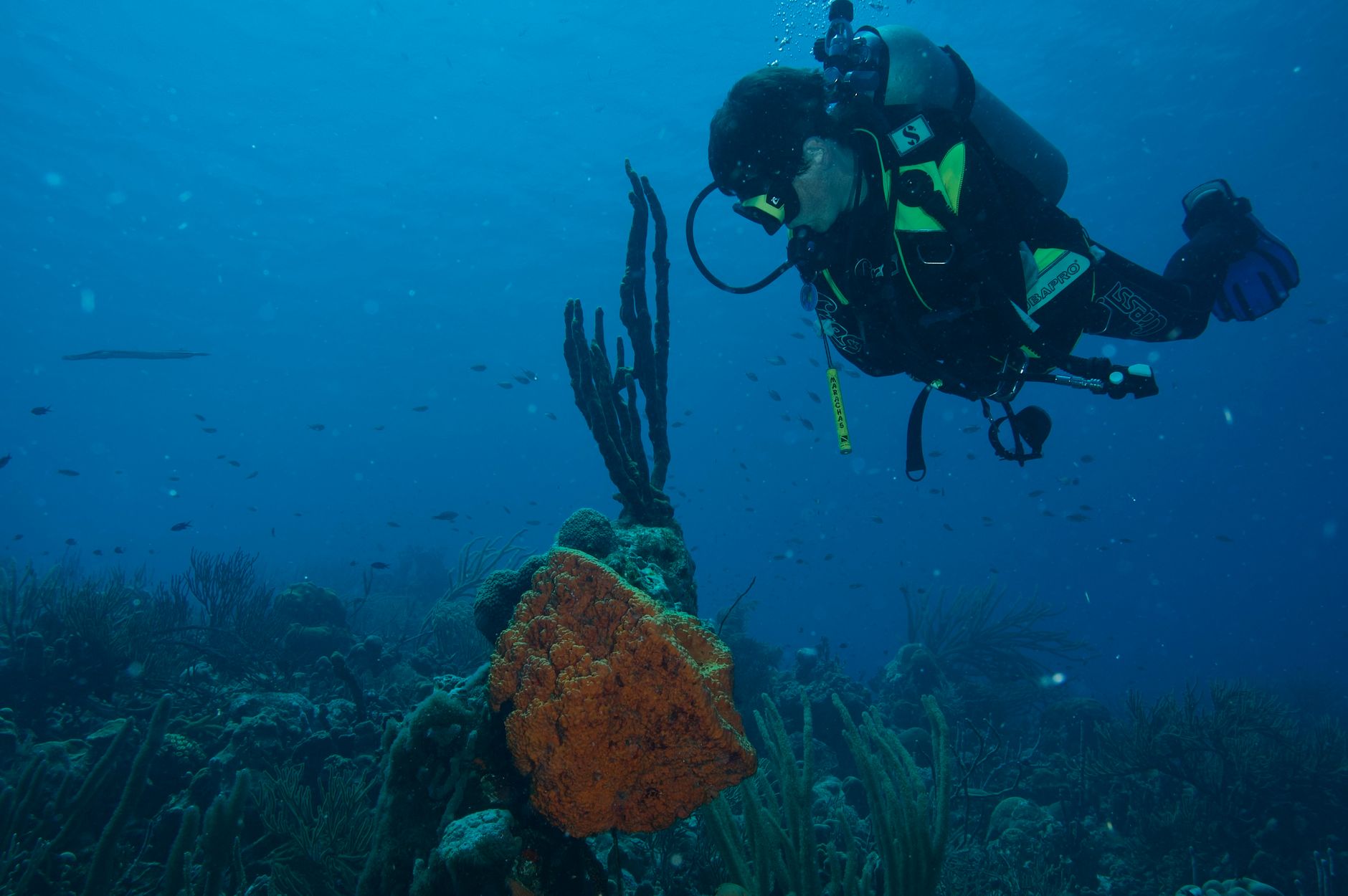
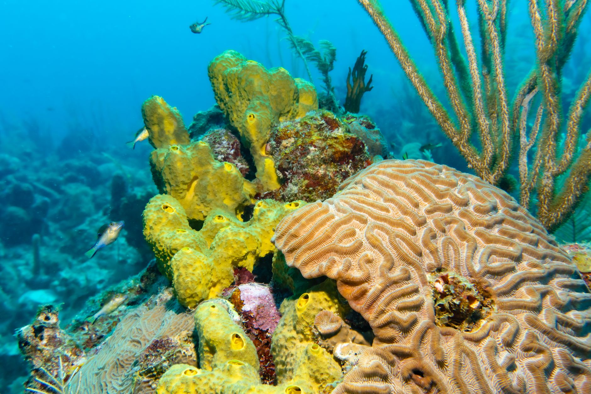
Bonaire offers a tranquil Caribbean experience without mega-resorts or dense cruise crowds. Revered globally as the shore diving capital of the world, a healthy fringing coral reef encircles the entire western leeward coast, sheltered from trade winds mere yards from shore.
Over eighty designated dive and snorkel sites line the coastal road, each marked by a roadside boulder painted bright yellow and stenciled with the site’s name (such as “1000 Steps,” “Karpata,” “Salt Pier,” or “Bari Reef”). Exploring Bonaire requires no boat charters. Visitors rent a double-cab pickup truck with rear tank racks, pick up scuba cylinders from operations like Buddy Dive or Dive Friends, park beside the water, gear up, and walk into the sea.
This marine ecosystem thrives thanks to proactive conservation. Established in 1979, the Bonaire National Marine Park is managed by STINAPA. Protection is rigorous and legally enforced. Before entering the water, all divers and snorkelers must purchase the mandatory STINAPA Nature Fee ($40 for scuba divers, $25 for snorkelers) online. Scuba divers must also attend a dive orientation at a local center and complete an in-water buoyancy check before diving independently. Gloves and spearfishing are strictly prohibited.
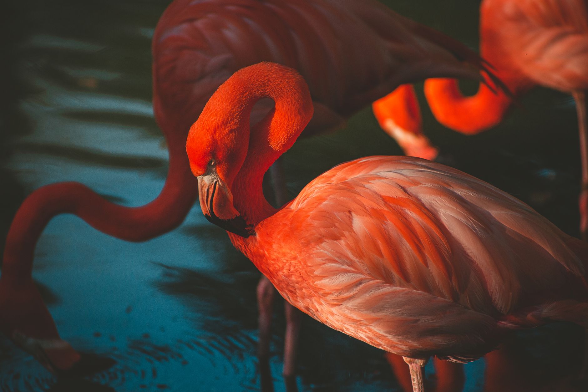
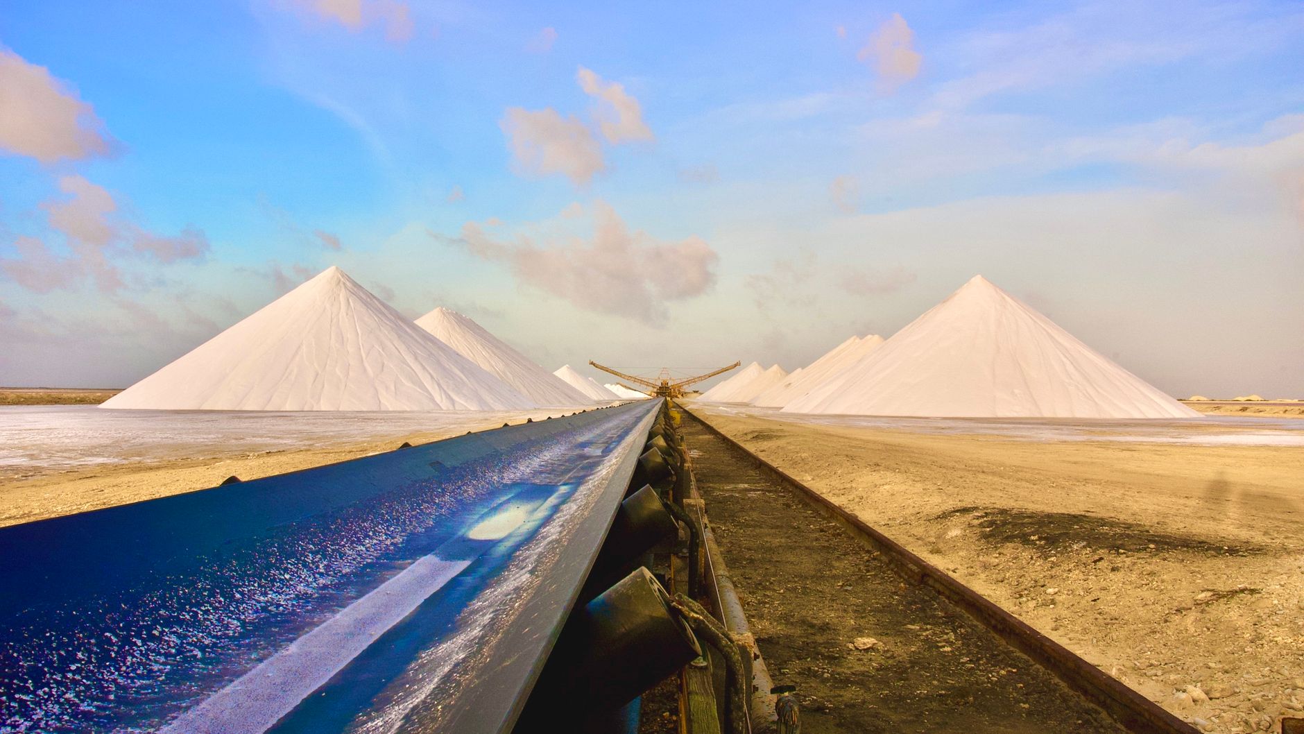
Beyond reefs, southern Bonaire reveals a striking landscape. Solar evaporation pans shimmer in shades of pink and magenta as seawater crystallizes into salt. Pure white salt pyramids rise beside Cargill’s deep-water pier. Adjacent lies the Pekelmeer Flamingo Sanctuary, an essential nesting ground for the Caribbean pink flamingo, where hundreds of birds feed in hypersaline lagoons visible from roadside viewpoints.
Saba & Statia: Cloud Forests, Dormant Volcanoes & Heritage
Saba and Sint Eustatius represent the Caribbean at its most untouched. With combined populations under five thousand residents, both islands offer intimate community life absent from major tourism centers.
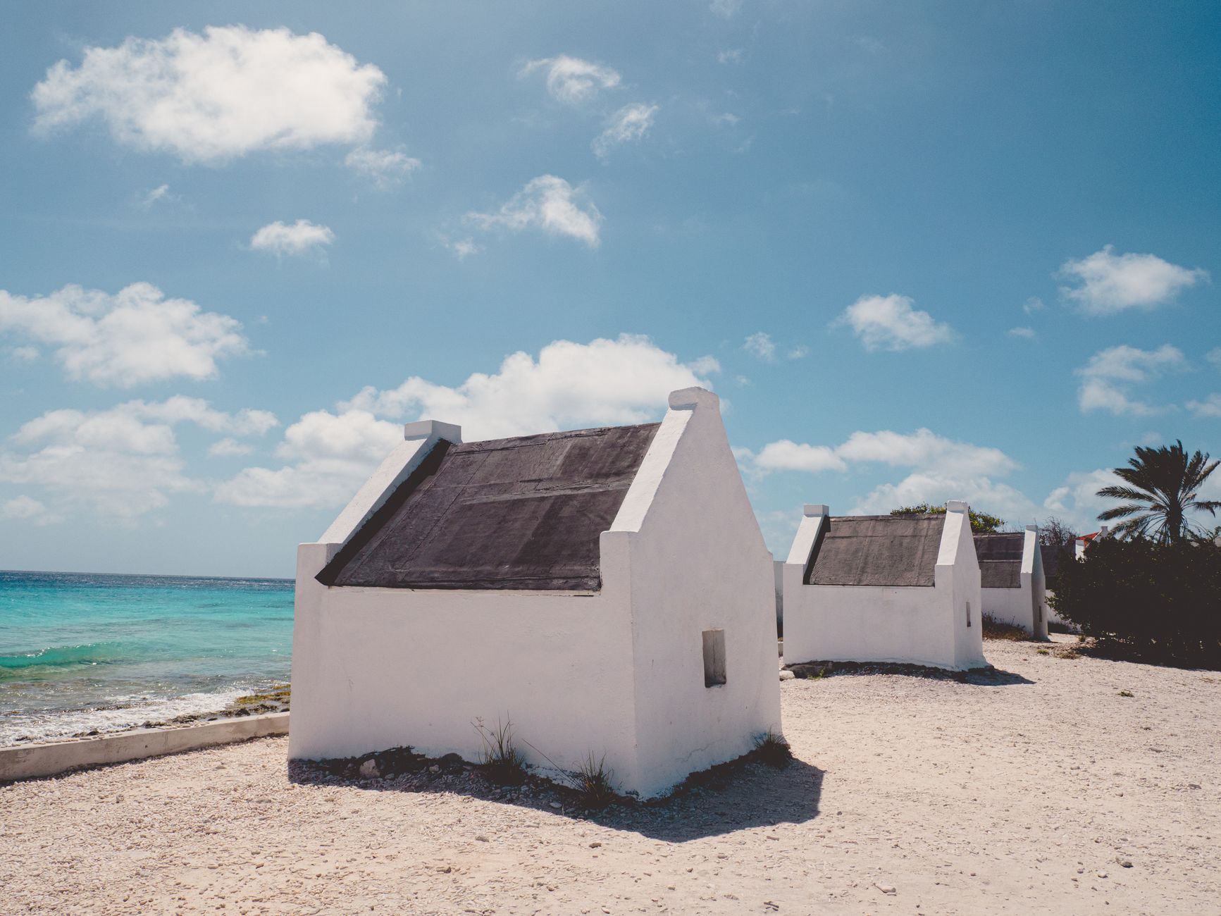
Saba is an engineering marvel. In the 1930s, Dutch engineers declared road construction impossible due to the sheer terrain. Local self-taught engineer Josephus Lambert Hassell proved them wrong, taking a correspondence course and mobilizing residents to build “The Road” by hand over twenty years. Today, this stone masonry route connects four neat villages: Fort Bay, The Bottom, St. John’s, and Windwardside.
Hiking on Saba is world-class. The Mount Scenery trail climbs through banana groves and tree ferns before ascending into a perpetually damp cloud forest draped in bromeliads, orchids, and mountain mahogany. Cool breezes and wide ocean vistas reward hikers who reach the stone summit marker.
Sint Eustatius, twenty miles southeast, preserves a monumental heritage. During the American Revolutionary War, Statia served as a vital neutral supply conduit for George Washington’s army. On November 16, 1776, Fort Oranje fired an eleven-gun salute to the American vessel Andrew Doria, marking the first foreign recognition of the United States flag. Today, visitors can walk Fort Oranje, explore eighteenth-century warehouse ruins along Lower Town, and hike through dense forest inside the crater of The Quill volcano.
Statia’s trails are maintained by the St. Eustatius National Parks Foundation (STENAPA). Hikers must obtain a trail pass from the visitor center in Oranjestad before ascending the volcano rim or exploring Mazinga trails.
Field Connectivity: Setel & TELCELL Across the Dutch Caribbean
Coordinating an island-hopping journey across multiple jurisdictions requires dependable cellular connectivity. Mobile data is essential for checking marine weather forecasts before ferry crossings, tracking flight updates, navigating winding mountain roads, purchasing STINAPA passes, and coordinating dive pickups.
Mobile coverage is divided between two primary regional operators. On Sint Maarten, telecommunications are anchored by TELCELL, the mobile division of the Telem Group. TELCELL operates extensive LTE coverage across the Dutch portion of the island, including Philipsburg, Simpson Bay, Maho, and the airport corridor.
Across the Caribbean Netherlands municipalities of Bonaire, Saba, and Sint Eustatius, infrastructure is operated by Setel (UTS / Chippie). Setel delivers strong LTE coverage across Bonaire, covering Kralendijk, the highway through Rincon, and the southern salt pans. On Saba and Statia, ridge-top towers provide reliable cellular data through settlements and harbors.
Travelers exploring these islands can access reliable mobile data through Setel and TELCELL LTE connectivity through NXTL. Setel data is priced at $6.85 per gigabyte for travel across Bonaire, Saba, and Statia, while TELCELL data is available at $24.49 per gigabyte on Sint Maarten. Having an active digital profile allows your handset to register automatically on local cell towers upon landing, eliminating the need to buy physical SIM cards on each island. Unused credit stays available for later trips across more than 180 countries.
On Sint Maarten, be aware of cross-border cellular behavior. Because the island is split between Dutch Sint Maarten and French Saint-Martin without border checkpoints, driving between Philipsburg and Grand Case causes your handset to switch between Dutch TELCELL towers and French cellular networks. Keep the profile on Dutch TELCELL while you are on Sint Maarten. French Saint-Martin uses separate networks and is outside this Netherlands Antilles listing.
Five Critical Pitfalls and Planning Mistakes to Avoid in the Dutch Caribbean
Traveling across the former Netherlands Antilles requires sharp attention to geographical distance, marine regulations, and maritime realities. Avoid these five common planning pitfalls:
- Assuming Inter-Island Ferries Connect All Dutch Caribbean Islands: Expecting a passenger ferry between Sint Maarten and Bonaire is a serious geographical error. The northern SSS islands and southern Bonaire are separated by more than eight hundred kilometers of open Caribbean sea. You can ferry between Sint Maarten, Saba, and Statia, but reaching Bonaire strictly requires regional air travel connecting through commercial aviation hubs.
- Disregarding the Rough Open-Water Swells of the Saba Channel: Boarding the ferry between Sint Maarten and Saba without motion sickness precautions leads to intense discomfort. Atlantic ocean swells entering the open channel can create substantial vessel pitching. Always take motion sickness medication forty-five minutes before departure and choose early-morning sailings whenever possible.
- Violating Winair STOL Aircraft Baggage Weight Limits: Arriving at Princess Juliana Airport with oversized, rigid hard-shell luggage exceeding fifteen to twenty kilograms results in heavy baggage penalty fees or having luggage delayed to a subsequent flight. Small Twin Otter STOL aircraft have strict payload weight limits. Pack light, compressible duffel bags.
- Entering Bonaire Marine Waters Without STINAPA Tag and Check-Out Dive: Entering the ocean to dive or snorkel around Bonaire or Klein Bonaire without paying the mandatory STINAPA Nature Fee online is illegal. Scuba divers must also complete an in-person orientation and buoyancy checkout dive with a certified local dive center before unguided shore diving. Marine park rangers inspect tags regularly and issue substantial fines.
- Converting US Dollars to Guilders at Unfavorable Retail Rates on Sint Maarten: Exchanging US currency for Netherlands Antillean Guilders at hotel desks or informal retail shops incurs poor exchange markups. Sint Maarten businesses accept US Dollars directly at the standard pegged rate of 1.79 ANG. Furthermore, Bonaire, Saba, and Statia use the US Dollar as their exclusive official legal tender, making foreign currency conversion completely unnecessary.
By respecting the unique geography, environmental regulations, and transport logistics of each island, your journey through the former Netherlands Antilles will reward you with one of the most diverse, exhilarating, and pristine travel experiences in the entire Caribbean basin.