Guam occupies a pivotal geographic and cultural crossroads in the western Pacific. Located roughly three-quarters of the way from Hawaii to the Philippines, this thirty-mile-long island is the southernmost and largest of the Mariana Islands and the westernmost territory of the United States. For more than four millennia, Guam has been the ancestral homeland of the indigenous Chamorro people, whose maritime culture, complex matrilineal clan structures, and megalithic latte architecture endured over three centuries of Spanish colonial rule and a brutal World War II occupation before evolving into today’s modern Pacific society.
Most international visitors arrive expecting a generic resort island defined by high-rise hotels along Tumon Bay and duty-free shopping malls. However, looking beyond the commercial strip reveals an island of stark ecological and cultural contrasts. The northern half is an elevated limestone plateau fringed by sheer cliffs, coastal wildlife reserves, and ancient Chamorro pictographs; the southern half unfolds as a rugged landscape of volcanic red-clay hills, tumbling waterfalls, historic Spanish fortresses, and sleepy coastal villages where daily life revolves around village fiestas and coastal fishing. Navigating Guam effectively requires knowing where to base yourself, securing independent transport, respecting treacherous coastal waters, and understanding how seasonal weather dictates outdoor plans.
Who This Trip Suits and How Long to Stay
Guam suits travelers who appreciate Pacific maritime culture, military history enthusiasts fascinated by Pacific War battlefields, scuba divers looking for dual-wreck dive sites, and outdoor road-trippers seeking scenic coastal drives. If you want to snorkel inside calm barrier-reef lagoons, hike through limestone forests to secluded northern beaches, inspect 17th-century Spanish colonial watchtowers, and savor spicy Chamorro kelaguen and red rice at a Wednesday night market, Guam offers rich depth.
Conversely, the island is poorly suited to travelers seeking vast, untouched island isolation or budget backpacker hosteling. Public transportation outside the central tourist district is non-existent, hotel pricing reflects US dollar island economics, and major military bases occupy roughly twenty-eight percent of the land area. A well-paced visit requires five to six days: this provides sufficient time to explore Tumon and historic Hagåtña, complete a full day driving the southern scenic loop, spend a day exploring northern Ritidian Point, and build in flexibility for sudden tropical squalls.
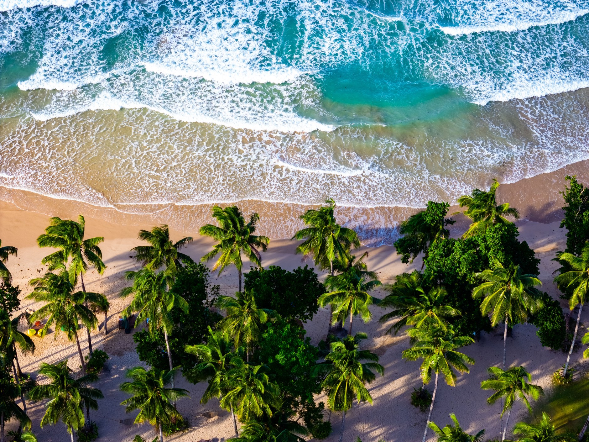
Choosing an accommodation base requires balancing convenience against local atmosphere. Tumon Bay concentrates ninety percent of the island’s hotels, international restaurants, and rental agencies, making it the most practical logistics base for first-time visitors. Travelers seeking quieter surroundings can look to boutique guesthouses in the administrative capital of Hagåtña or coastal rentals in the south, though staying outside Tumon makes a rental car mandatory from the moment you land.
Strategic Route Blueprint: Plateaus, Reefs, and Ridges
Guam’s geography divides into three distinct zones: the commercial central corridor (Tumon, Tamuning, and Hagåtña), the dramatic limestone plateau of the north, and the mountainous volcanic amphitheater of the south. Marine Highway (Route 1) runs along the western coast as the island’s primary traffic artery, connecting the airport to the capital and naval port.
A balanced five-day route dedicates two days to the central historical and beach core, one full day to the southern coastal driving loop along Route 4 and Route 2, one day to the pristine coastal wilderness of Ritidian Point in the north, and a final day for diving, hiking, or cultural markets. This structure minimizes driving fatigue and allows you to adapt coastal outings according to daily swell and wind forecasts.
Day-by-Day Guam Itinerary: Culture, Coast, and Heritage
This five-day itinerary connects Tumon’s sheltered reef waters, the historic capital of Hagåtña, the scenic southern loop, and the wild northern wildlife refuge.
| Day / Stage | Base | Highlights | Transport Mode | Transit Time | Advance Booking Requirement |
|---|---|---|---|---|---|
| Day 1 | Tumon | Arrive Antonio B. Won Pat Airport (GUM), collect rental car, Tumon Bay swim, sunset walk | Rental Car | 15 mins drive | Rental car booked 1 month ahead |
| Day 2 | Tumon | Hagåtña heritage trail: Plaza de España, Dulce Nombre Cathedral, Latte Stone Park | Rental Car | 15 mins drive | Wednesday night Chamorro Village market |
| Day 3 | Tumon | Southern loop: Asan Overlook, Cetti Bay, Umatac Bay, Fort Soledad, Inarajan Pools | Rental Car | Full day road trip | Self-guided driving, no permits needed |
| Day 4 | Tumon | Northern expedition: Two Lovers Point cliff top, Ritidian Point nature trails and beach | Rental Car | 45 mins drive north | Check Ritidian refuge gate hours & surf warnings |
| Day 5 | Departure | War in the Pacific park museum, duty-free shopping, final sunset, transfer to GUM | Rental Car | 20 mins to airport | Check-in 2.5 hrs prior to flight |
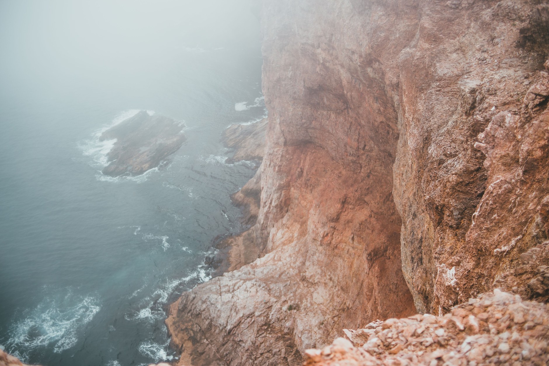
Perched high above Tumon Bay, Two Lovers Point (Puntan Dos Amantes) provides an unmatched vantage point over the western barrier reef. The site is tied to a tragic Chamorro legend of two star-crossed lovers who tied their long hair together and leaped into the abyss rather than be separated by a Spanish captain, symbolizing the enduring spirit of Chamorro resistance.
Hagåtña and Chamorro Heritage
Just five miles south of Tumon lies Hagåtña (formerly Agaña), the seat of government since Spanish colonization began in 1668. Unlike Tumon’s high-rise glitz, Hagåtña retains quiet colonial dignity. The Plaza de España preserves the stone arches and garden walls of the Governor’s Palace (Palacio), where Spanish governors ruled the Mariana Islands for over two centuries as a stopover on the Manila Galleon trade route.
Adjacent stands the Dulce Nombre de Maria Cathedral-Basilica, the spiritual heart of Catholic Guam, originally founded by Father Diego Luis de San Vitores. Behind the cathedral, the Senator Angel Leon Guerrero Santos Memorial Park—known locally as Latte Stone Park—displays eight ancient limestone latte stones transported from the interior valley of Me’pu. These two-piece megalithic structures, consisting of a supporting pillar (haligi) topped by a hemispherical capstone (tasa), served as the foundation pillars for high-status residential and community clan houses between 800 AD and Spanish contact.
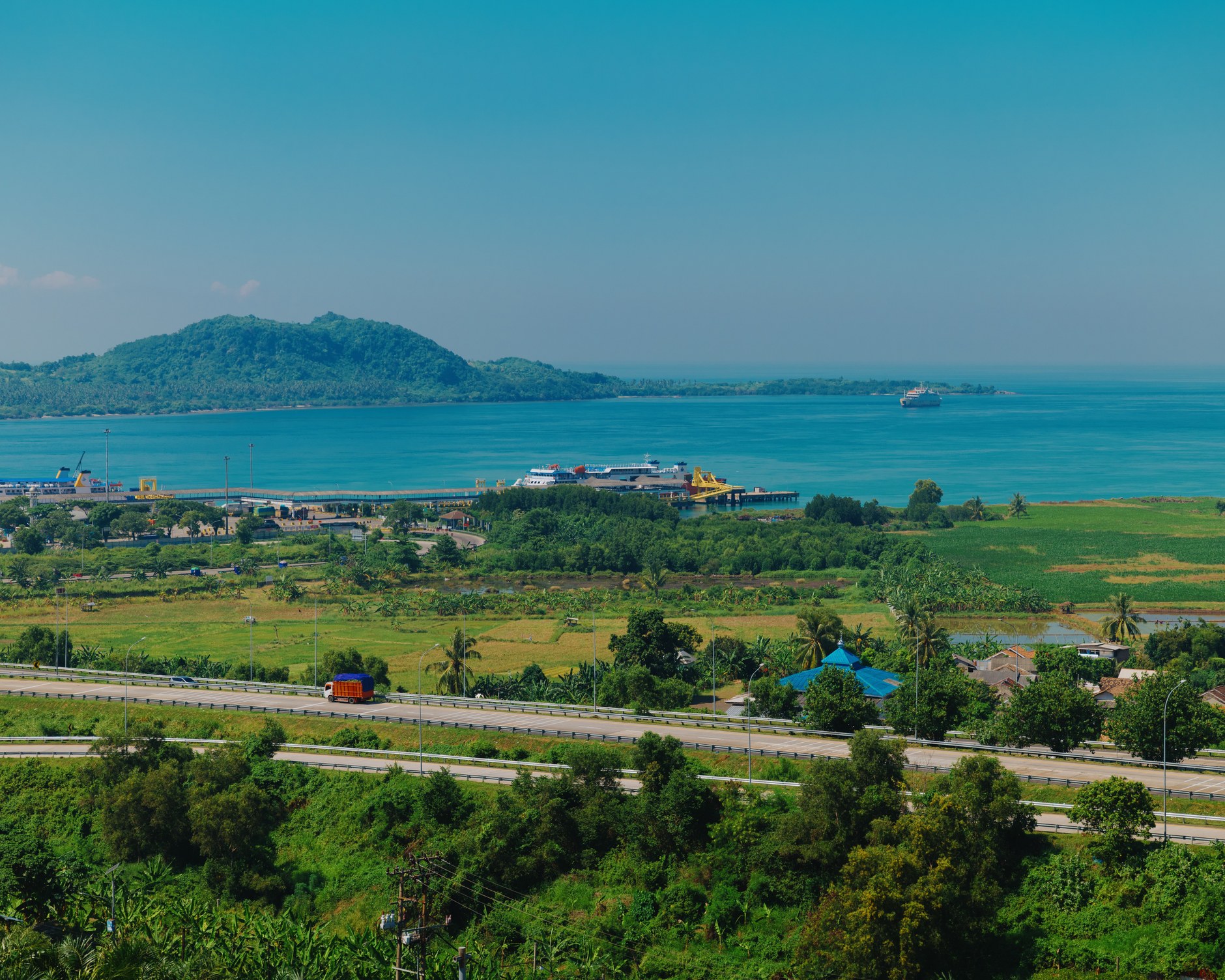
If your itinerary coincides with a Wednesday, do not miss the Chamorro Village Night Market in Hagåtña. Local families, artisans, and food vendors assemble to sell wood carvings, woven pandanus goods, and traditional barbecue skewers brushed with sweet-soy marinades, served alongside fragrant red rice stained orange with achiote seeds.
The Southern Scenic Road Trip: Volcanic Peaks and Spanish Forts
Driving the southern loop via Route 4 and Route 2 is the highlight of any trip to Guam. As you travel south past the naval harbor of Apra, the flat limestone plateau gives way to the rugged volcanic slopes of Mount Lamlam, which rises 1,332 feet above sea level—though measuring from the floor of the nearby Mariana Trench, it forms part of the world’s greatest vertical rise.
Stop first at the Cetti Bay Overlook, where viewing platforms look out over rolling savannas of sword grass and deep volcanic valleys cascading down to secluded Cetti Bay, with the uninhabited silhouette of Cocos Island visible across the southern horizon. Just down the winding mountain pass lies Umatac Bay, a tranquil coastal cove framed by twin volcanic headlands. In March 1521, Ferdinand Magellan made his first landfall in the Pacific here, an encounter that initiated four centuries of European engagement in Micronesia.
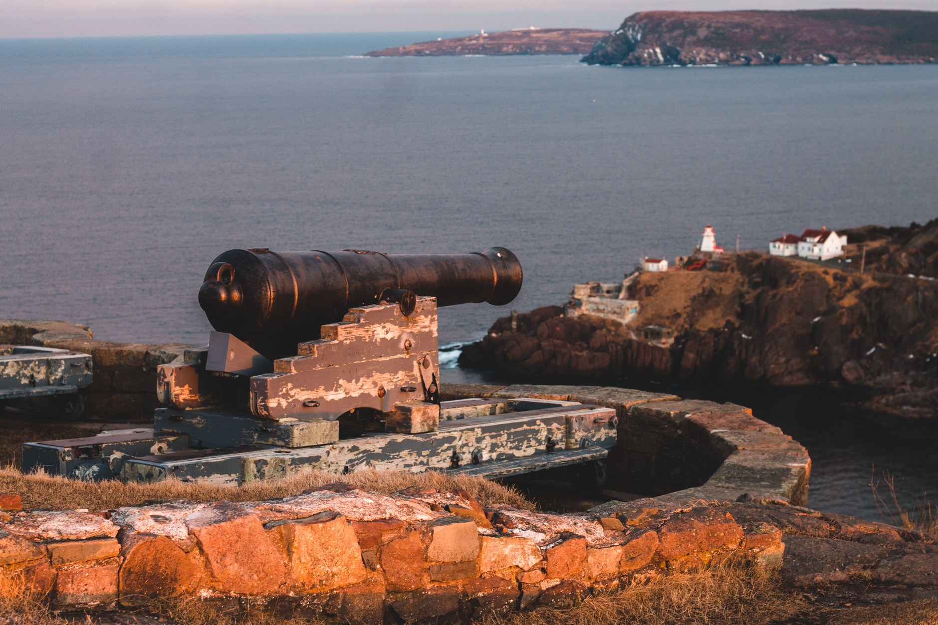
Climb the headland above Umatac to explore Fort Nuestra Señora de la Soledad. Built in 1802, the fort retains weathered coral-and-brick ramparts and replica cannons pointing out over the reef entrance, positioned to guard trans-Pacific Manila galleons taking on fresh water and fruit against British and Dutch privateers.
Continuing around the southern cape brings you to Inarajan (Inalåhan), one of Guam’s oldest and most traditional Chamorro villages. The village features the Inarajan Natural Pools (Salaglula Pools), an interconnected series of natural saltwater tidal basins protected from open-ocean swells by jagged natural barrier reefs. Concrete steps, diving platforms, and walkways built during the naval administration allow visitors to swim in calm, crystal-clear water while Atlantic-fed Pacific waves crash dramatically against outer volcanic rock walls.
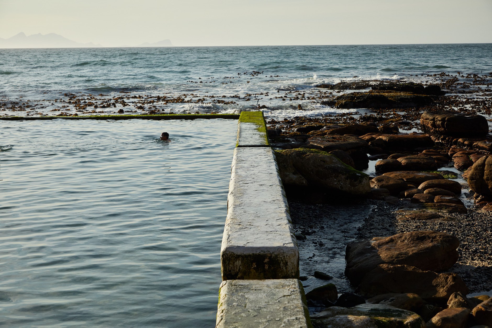
Nearby, the Gef Pa’go Cultural Village showcases traditional Chamorro living skills, including thatch weaving, sea salt production from boiled ocean brine, and coconut husking, offering meaningful engagement with southern community elders.
Northern Wilderness: Ritidian Point and Coastal Forests
At the northernmost tip of the island lies Ritidian Point, part of the Guam National Wildlife Refuge managed by the US Fish and Wildlife Service. Reaching Ritidian requires navigating a winding, unpaved road past Andersen Air Force Base through dense native limestone forest.
Ritidian protects one of the most stunning and untouched ecosystems in the Mariana Islands. Beneath towering 500-foot limestone cliffs sits a pristine crescent of powdered coral sand fronting an incandescent turquoise lagoon. The surrounding coastal forest harbors native fruit bats (fanihi), Mariana crows, and endangered green sea turtles that crawl ashore to nest on secluded beaches. Walking the marked nature trails reveals ancient Chamorro fishing caves with ancestral red ochre hand stencils and carved grinding stones.
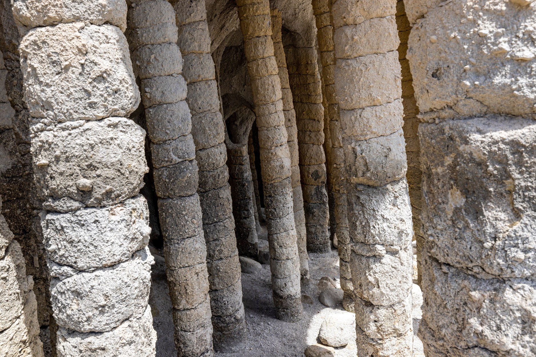
Visiting Ritidian requires strict safety awareness. While swimming inside the waist-deep inner reef lagoon is tranquil during calm mornings, the outer reef shelf drops into deep water swept by powerful oceanic currents. Never venture near the reef breaks, obey all refuge ranger warnings, and note that refuge gates close strictly at 4:00 PM.
Transport Realities: Why You Must Rent a Car
Understanding transportation logistics on Guam is essential for a rewarding trip. Antonio B. Won Pat International Airport (GUM) is located centrally in Tamuning, just a ten-minute drive from Tumon Bay hotels.
While Tumon itself is pedestrian-friendly, relying on public transportation to explore the island is impractical. The red-and-white “Red Guahan” trolley buses cater exclusively to tourists commuting between Tumon hotels, Micronesia Mall, Guam Premier Outlets, and the Kmart shopping center. Trolleys do not run to southern heritage villages, Cetti Bay, or Ritidian Point. Taxis on Guam are among the most expensive in US jurisdictions, with short five-mile rides frequently costing $25 to $35 USD.
Renting a vehicle directly at the airport or through reputable agencies in Tumon is mandatory for independent travelers. Driving is on the right, road signage follows US federal standards, and standard US state or international driver’s licenses are valid for thirty days. Be prepared for aggressive local pickup truck traffic along Marine Highway (Route 1) and watch for potholes on rural secondary roads in the south.
Connectivity and Mobile Networks Across Guam
Maintaining fast, uninterrupted mobile connectivity on Guam is crucial for GPS navigation along winding mountain roads, checking real-time surf and marine safety advisories, looking up restaurant hours in Hagåtña, and staying in touch with home contacts.
Guam operates a mature telecommunications market led by Docomo Pacific, IT&E, and GTA TeleGuam. High-speed 5G and LTE networks cover virtually the entire island, including Tumon, Hagåtña, and southern coastal villages. However, travelers arriving on US domestic carrier plans (such as AT&T, Verizon, or T-Mobile) should note that domestic plans do not always treat Guam as local domestic coverage; many US providers categorize Guam as an international or roaming territory, incurring unexpected roaming charges unless specific global plans are activated.
An efficient and cost-effective solution is installing an international eSIM before boarding your flight. With a dedicated profile from NXTL’s Guam eSIM, your phone connects immediately to Docomo Pacific’s premier local 5G and LTE infrastructure upon landing at GUM airport.
NXTL operates on a pay-as-you-go balance that never expires. Whatever unused balance remains in your digital account stays ready for future travel across more than 180 countries. Using an eSIM also preserves your physical SIM card in your secondary slot, so you can receive bank security two-factor verification codes and message friends without paying high roaming rates.
Budget Realities, US Dollar Currency, and Spending
As a US territory, Guam uses the US Dollar (USD) as its official currency. Credit cards (Visa, Mastercard, and American Express) are universally accepted across hotels, rental agencies, supermarkets, and restaurants. ATMs are widely available in banks, shopping centers, and convenience stores throughout the central corridor.
Because Guam is an isolated Pacific island that imports nearly all fuel, vehicles, and packaged foods from the US mainland and Asia, daily costs are moderately high. Plan for these realistic price benchmarks:
- Accommodations: Beachfront resort hotels in Tumon Bay (such as the Dusit Thani, Hyatt Regency, or Westin) average $220 to $420 USD per night. Modest three-star business hotels or guesthouses in Tamuning or Hagåtña cost $110 to $170 USD nightly.
- Dining: A casual lunch plate of chicken kelaguen, barbecue ribs, and red rice at a local bakery or market costs $12 to $18 USD. A sit-down dinner at a quality seafood or Japanese restaurant in Tumon runs $35 to $65 USD per person. Fast casual meals cost $10 to $15 USD.
- Car Rental & Fuel: An economy compact rental car averages $45 to $70 USD per day, including basic insurance. Gasoline prices are roughly 20 to 30 percent higher than the US national average.
- Activities & Admissions: Two Lovers Point observation deck admission costs $3 USD per person. Entry to War in the Pacific National Historical Park and Ritidian National Wildlife Refuge is completely free. Guided two-tank boat scuba diving trips average $120 to $160 USD.
Five Pitfalls and Scams to Avoid in Guam
Guam has low rates of violent crime, but environmental hazards and tourist-strip commercial pricing require proactive caution. Watch for these five common pitfalls:
- Lethal Rip Currents at Barrier Reef Channels: The most dangerous hazard on Guam is ocean currents. While inner reef lagoons are calm, water rushing over the barrier reef exits violently through narrow reef cuts (awa), creating irresistible seaward currents. Drownings regularly occur at Ritidian Point, Tagachang Beach, and Shark’s Cove when swimmers cross the reef barrier. Never swim outside protected lagoons or during high surf advisories.
- The Tourist Shopping Shuttle Illusion: Believing that commercial trolley buses allow you to explore Guam is a major misconception. Red shuttles only serve the hotel strip and shopping malls; they do not reach southern heritage villages, scenic overlooks, or hiking trailheads. Renting a car is indispensable for experiencing the real island.
- Typhoon Season Disruptions and Flash Floods: The western Pacific typhoon season runs from July through November. While modern hotels are built from reinforced concrete to withstand typhoons, severe tropical storms bring torrential rains that cause rapid flash flooding along southern mountain passes and trigger marine small-craft warnings that cancel boat excursions. Monitor National Weather Service Guam advisories.
- Rental Car Gravel and Undercarriage Damage: Secondary access roads leading to secluded beaches and trailheads (particularly the access road to Ritidian Point and southern waterfall tracks) contain deep potholes and sharp coral limestone gravel. Drive cautiously; rental agencies inspect undercarriages closely for damage incurred on unpaved roads.
- Tumon Luxury Strip Dining and Retail Markups: Restaurants and convenience shops situated directly along Pleasure Island in Tumon charge substantial markups compared to local establishments just two miles inland in Tamuning or Hagåtña. Buy snacks, water, and picnic supplies at local supermarkets like Pay-Less Supermarkets to save money.
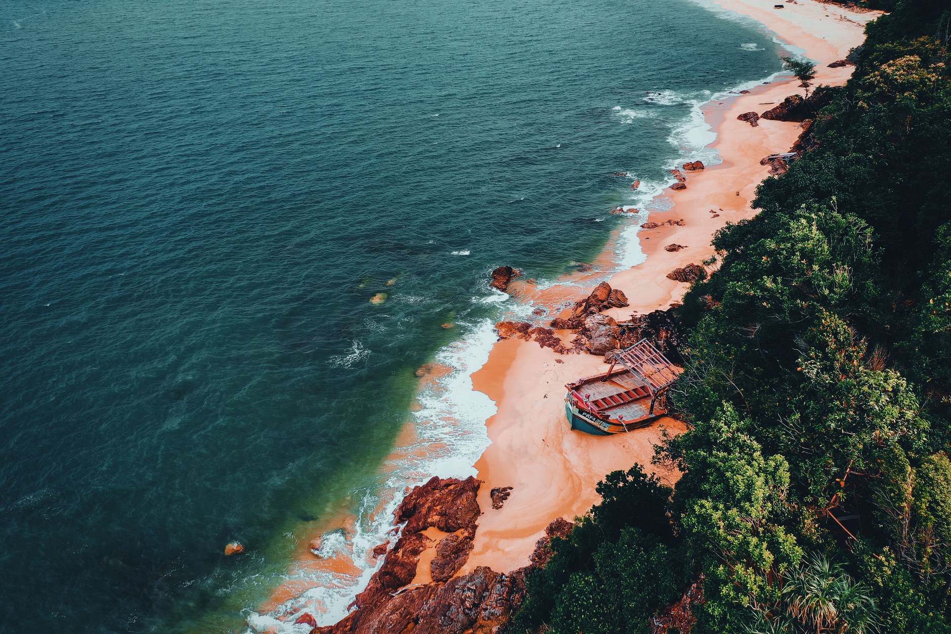
Being mindful of these environmental and practical realities ensures your journey across Guam remains safe, rewarding, and culturally rich.
Seasonal Weather, Ocean Conditions, and Packing Essentials
Guam experiences a warm, tropical marine climate year-round, with daily temperatures consistently averaging 82 to 88 degrees Fahrenheit (28 to 31 Celsius) and nighttime lows rarely dipping below 75 degrees (24 Celsius).
The year divides into two main seasons: the dry season from January through May and the rainy season from July through November, with June and December acting as transitional shoulder months. The dry season is the premier time to visit, characterized by steady easterly trade winds, low rainfall, and clear water visibility for scuba diving and snorkeling. The wet season brings frequent afternoon tropical downpours and higher typhoon probabilities, requiring flexible scheduling for outdoor activities.
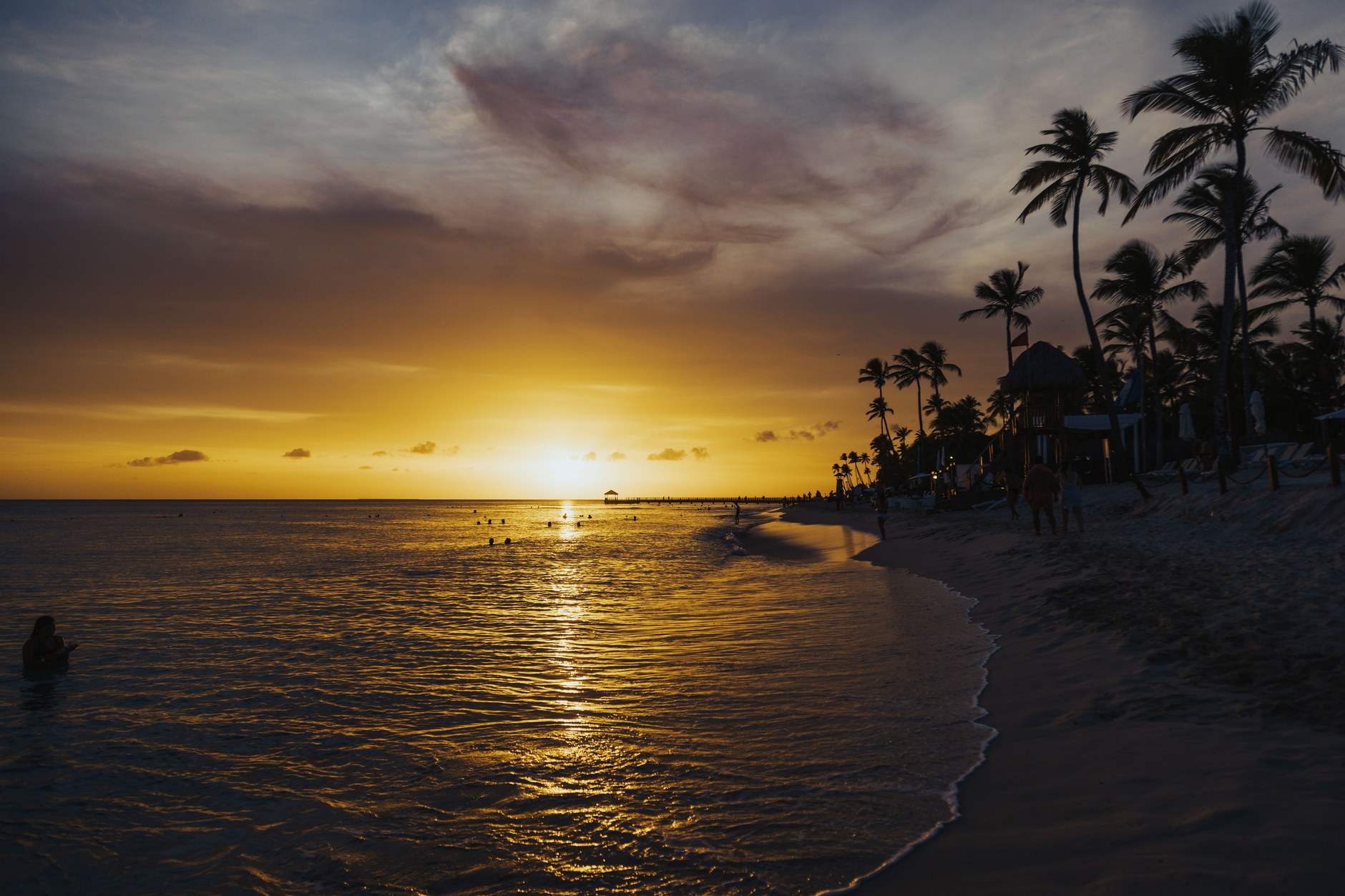
Packing for Guam centers on tropical beach and outdoor gear. Bring lightweight, breathable clothing, multiple swimsuits, and UV-blocking rash guards to protect against intense equatorial sun. Reef shoes or durable water booties with stiff soles are essential for walking across sharp volcanic rocks and coral rubble at Inarajan and outer beach lagoons. Pack high-SPF reef-safe sunscreen, a reliable waterproof dry bag for rental car outings, polarized sunglasses, and your standard US Type A/B electrical chargers.
By stepping beyond the commercial confines of Tumon Bay, exploring ancient latte heritage sites, and traveling with reliable mobile connectivity, you will discover an authentic, complex, and beautiful Pacific island territory that stays with you long after your flight departs.