New Zealand’s South Island (Te Waipounamu) delivers an extraordinary landscape of snow-draped alpine massifs, hanging glaciers, mirror-still glacial lakes, and primeval beech rainforests. For travelers planning a road trip—whether by motorhome, campervan, or rental car—the primary challenge is pacing. Trying to drive both the North and South Islands in a single two-week holiday turns a dream trip into a relentless marathon of highway asphalt and inter-island ferry logistics.
A far more rewarding and immersive journey is dedicating a full two weeks exclusively to a 14-day South Island alpine loop starting and ending in Christchurch. This guide provides a workable day-by-day itinerary, realistic driving times that account for winding mountain passes, certified campervan camping laws, and dependable mobile data.
The 14-Day South Island Road Trip at a Glance
Below is a realistic day-by-day itinerary with overnight bases, driving times, and advance booking priorities:
| Days | Overnight Base | Key Experiences | Transit & Travel Time | Advance Booking |
|---|---|---|---|---|
| Day 1 | Lake Tekapo (1 night) | Pick up campervan/car in Christchurch, drive across Canterbury Plains, Church of the Good Shepherd, Dark Sky stargazing | Christchurch (CHC) to Tekapo: 3 hours (225 km via SH1 & SH79) | Book Tekapo campground or motel ahead in peak summer |
| Days 2–3 | Aoraki / Mount Cook Village (2 nights) | Hooker Valley Track swing bridges, Tasman Glacier lake icebergs, Kea Point alpine walk | Tekapo to Mount Cook Village: 1.25 hours (105 km via SH8 & SH80) | Reserve White Horse Hill DOC campsite or Hermitage Hotel |
| Days 4–5 | Wanaka (2 nights) | Drive across Lindis Pass, Roy’s Peak or Mount Iron hike, | ||
| Days 6–7 | Queenstown (2 nights) | Crown Range alpine drive, Arrowtown historic gold rush village, Skyline Gondola & Luge, Queenstown dining | Wanaka to Queenstown: 1 hour via Crown Range Road (or 1.5h via Kawarau Gorge) | Book signature bungy or jetboat activities ahead |
| Days 8–9 | Te Anau (2 nights) | Base for Fiordland: early morning drive along Milford Road (SH94), 2-hour nature cruise beneath Mitre Peak | Queenstown to Te Anau: 2 hours (170 km via SH6 & SH94) | Book early morning (8:30–9:30 AM) Milford Sound cruise |
| Days 10–11 | Franz Josef or Fox Glacier (2 nights) | Drive through Haast Pass, Blue Pools gorge walk, Ship Creek coastal walk, glacier valley hikes | Te Anau to Franz Josef: 5–6 hours (480 km via SH6) — long driving day | Book heli-hike glacier flights (weather dependent) |
| Days 12–13 | Arthur’s Pass & Castle Hill (2 nights) | Hokitika Gorge azure waters, drive across Arthur’s Pass viaduct, Otira Lookout kea parrots, Castle Hill limestone boulders | Franz Josef to Arthur’s Pass: 2.5 hours (230 km via SH6 & SH73) | Check NZTA for alpine road slip updates |
| Day 14 | Christchurch & Departure | Morning scramble at Castle Hill, descend to Christchurch, vehicle drop-off and flight home | Arthur’s Pass to Christchurch: 2 hours (150 km via SH73) | Allow 2 hours before flight for campervan inspection |
Short-Trip Option (9–10 Days): Fly into Christchurch and out of Queenstown. Follow the itinerary through Lake Tekapo, Mount Cook, Wanaka, and Te Anau/Milford Sound, concluding in Queenstown. Skip the long West Coast and Arthur’s Pass driving days.
Mountain Driving Physics: Why You Must Add 25% to Google Maps
New Zealand highways are predominantly single-lane in each direction, without median barriers. Outside the Canterbury Plains, roads feature steep gradients, narrow switchbacks, and hundreds of single-lane wooden bridges governed by priority right-of-way signs (a white arrow indicates your right of way; a red arrow means you must yield to oncoming traffic).
Furthermore, weather changes abruptly. Heavy maritime rain can trigger sudden rock slips on the Haast Pass (SH6), and winter snow flurries require carrying chains on the Crown Range Road and Milford Road (SH94). Never assume you can average 100 km/h. If driving a high-sided campervan, add 20 to 30 percent extra driving time over standard GPS estimates, pull over safely at designated slow-vehicle bays to let traffic pass, and check the NZ Transport Agency (NZTA Journey Planner) app every morning before departure.
Lake Tekapo & Mackenzie Dark Sky Reserve (Day 1)
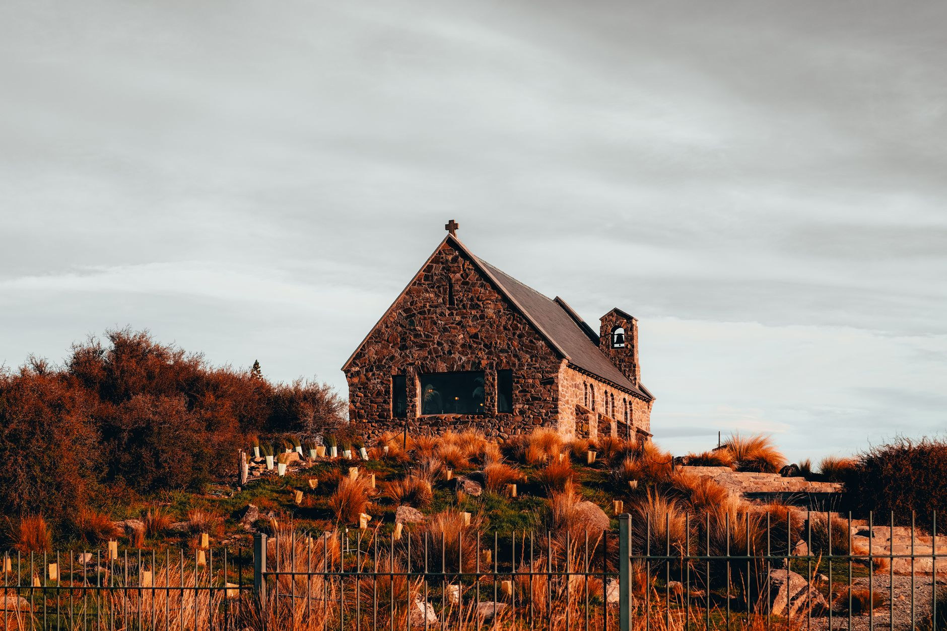
Leaving Christchurch, State Highway 79 climbs into the Mackenzie Basin. The stark tussock grasslands give way to Lake Tekapo, renowned for its opaque turquoise color created by fine glacial rock flour suspended in alpine meltwater.
On the rocky shoreline stands the historic stone Church of the Good Shepherd, built in 1935 with an altar window framing sweeping views of the Southern Alps. Because the Mackenzie Basin forms the heart of the 4,300-square-kilometer Aoraki Mackenzie International Dark Sky Reserve—where outdoor lighting is strictly regulated—night skies here are crystalline. Step outside after dark to see the Milky Way, the Magellanic Clouds, and the Southern Cross arching overhead in vivid detail.
Aoraki / Mount Cook: The Hooker Valley Track (Days 2–3)
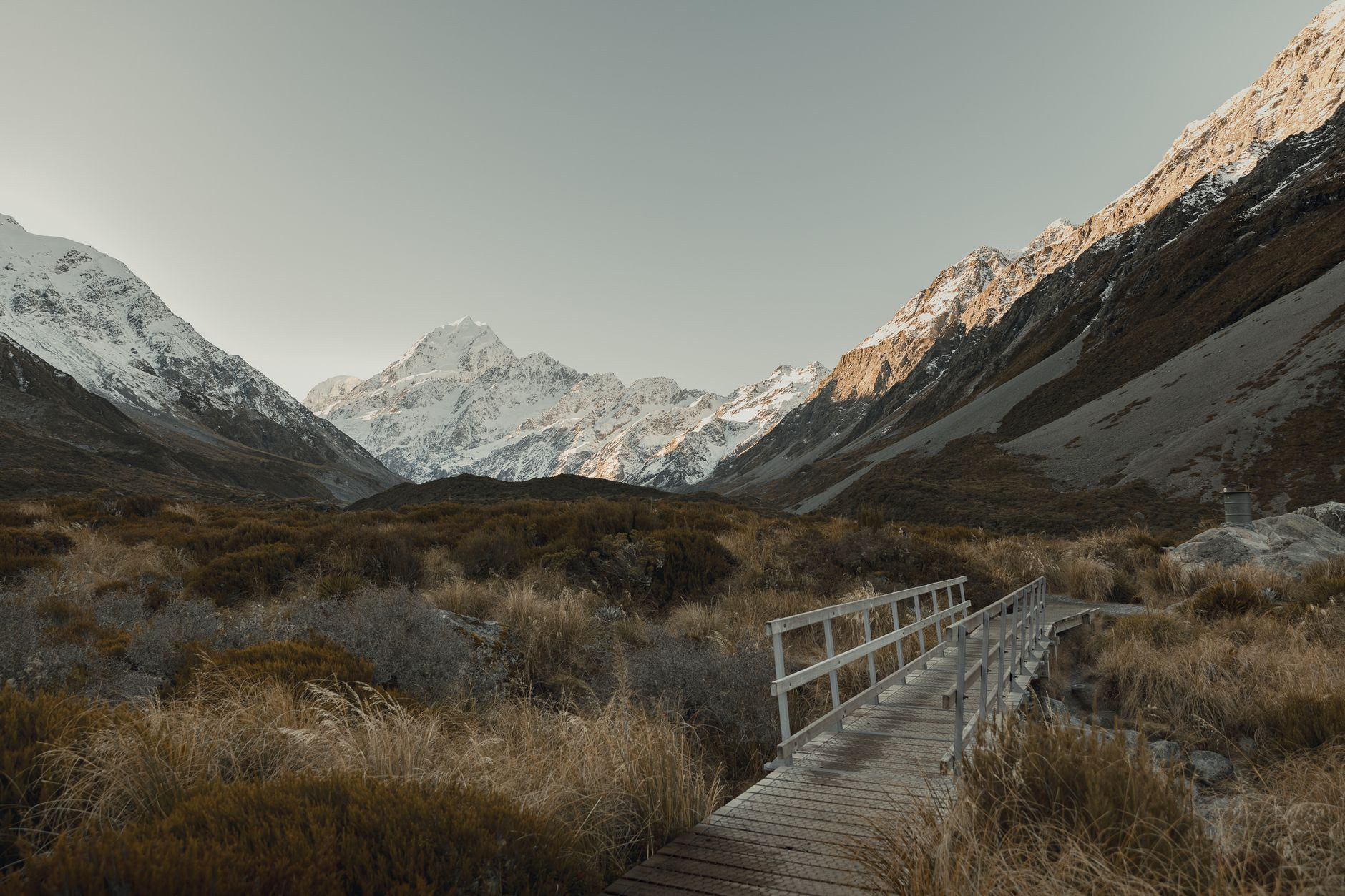
Follow State Highway 80 along the turquoise edge of Lake Pukaki directly into Aoraki / Mount Cook National Park. The towering 3,724-meter peak of Aoraki dominates the valley, flanked by hanging glaciers and vertical moraine walls.
The essential day hike is the 10-kilometer return Hooker Valley Track. This flat, well-maintained trail crosses three dramatic swing suspension bridges swinging over rushing glacial torrents, passing alpine meadows blooming with giant Mount Cook buttercups. The trail terminates at the glacier lake, where blue icebergs float serenely beneath the vertical face of Mount Sefton and Aoraki. Start by 7:30 AM to secure parking at White Horse Hill campground and hike in tranquil morning light before tour buses arrive.
Wanaka: Mountain Peaks and Alpine Solitude (Days 4–5)
Crossing the tussock-covered Lindis Pass brings you into Central Otago and the lakeside haven of Wanaka. While neighboring Queenstown buzzes with commercial tourism, Wanaka preserves a relaxed mountain-town character.
Stroll along the western lakefront to photograph "#ThatWanakaTree"—a resilient willow tree growing directly out of the lakebed waters. For fit hikers, the 16-kilometer Roy’s Peak Track delivers celebrated panoramic vistas over Lake Wanaka and Mount Aspiring. If you want magnificent 360-degree views without spending six hours on a crowded gravel trail, hike the Mount Iron Track instead—a gentle 4.5-kilometer loop ascending a glacially carved rock dome offering panoramic vistas over the Upper Clutha basin.

Queenstown: Adventure Economics and Alpine Dining (Days 6–7)
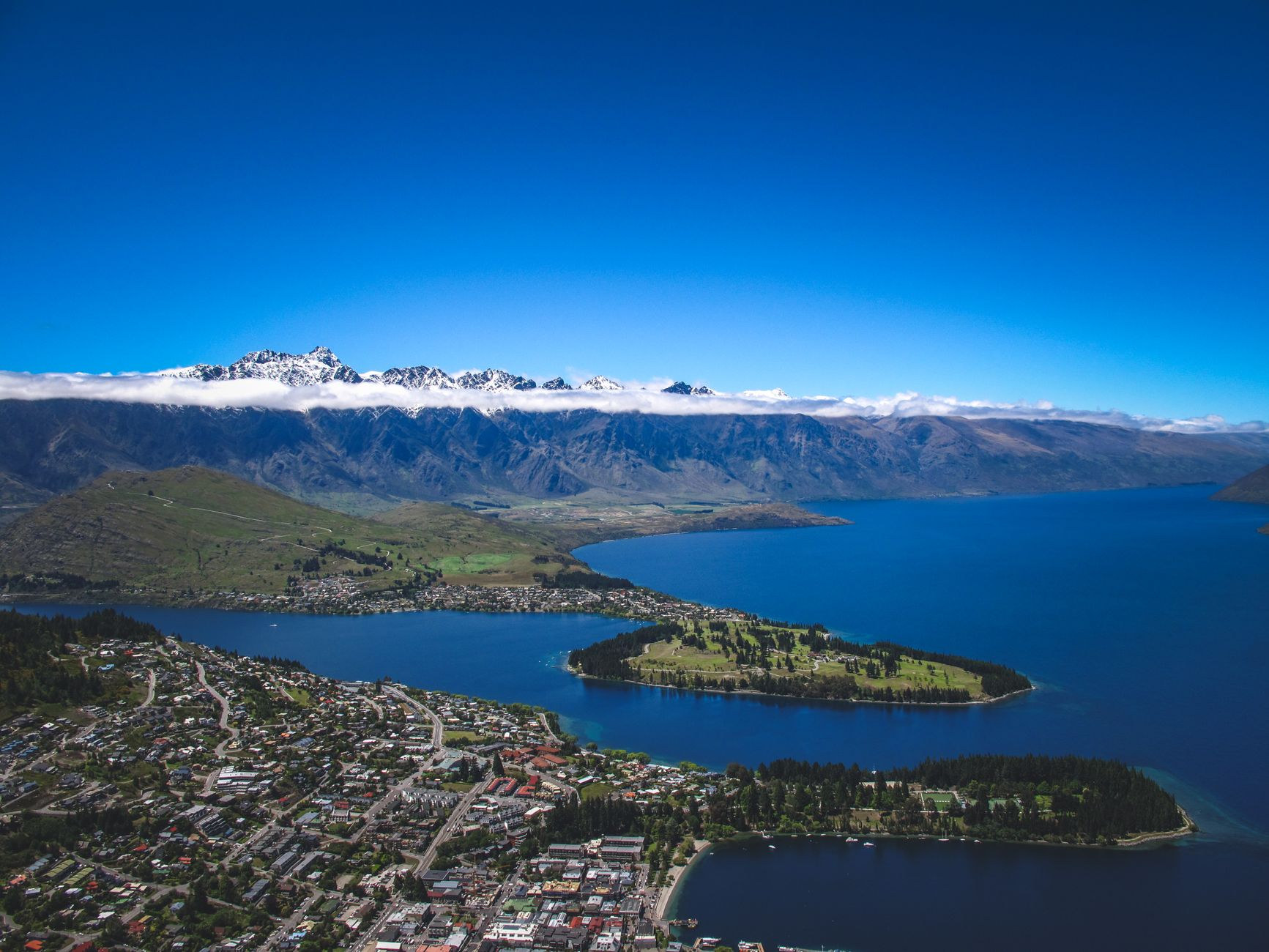
Nestled along z-shaped Lake Wakatipu beneath the jagged Remarkables range, Queenstown is the world capital of commercial adventure tourism. It is the birthplace of commercial bungy jumping (AJ Hackett at Kawarau Bridge in 1988) and offers jet boating through narrow rocky canyons, skydiving, and downhill mountain biking.
Because adventure activities carry premium price tags ($180–$350 NZD each), choose one signature experience that matters most to you rather than overloading your budget. In town, line up early for the famous Fergburger on Shotover Street, or bypass the 45-minute sidewalk line by ordering via telephone for pickup. Ride the Skyline Gondola up Bob’s Peak at twilight for scenic luge kart racing overlooking the glowing town.
Fiordland & Milford Sound: The Te Anau Base Advantage (Days 8–9)
Many visitors make the mistake of visiting Milford Sound on a grueling 12-hour roundtrip day bus tour from Queenstown. Basing yourself in Te Anau for two nights is vastly superior.
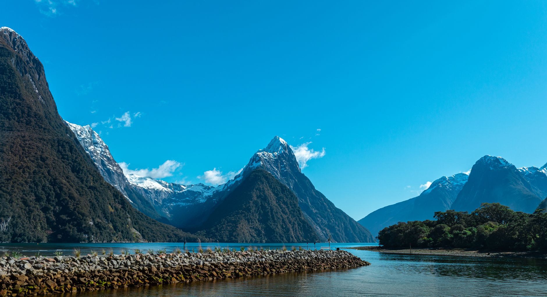
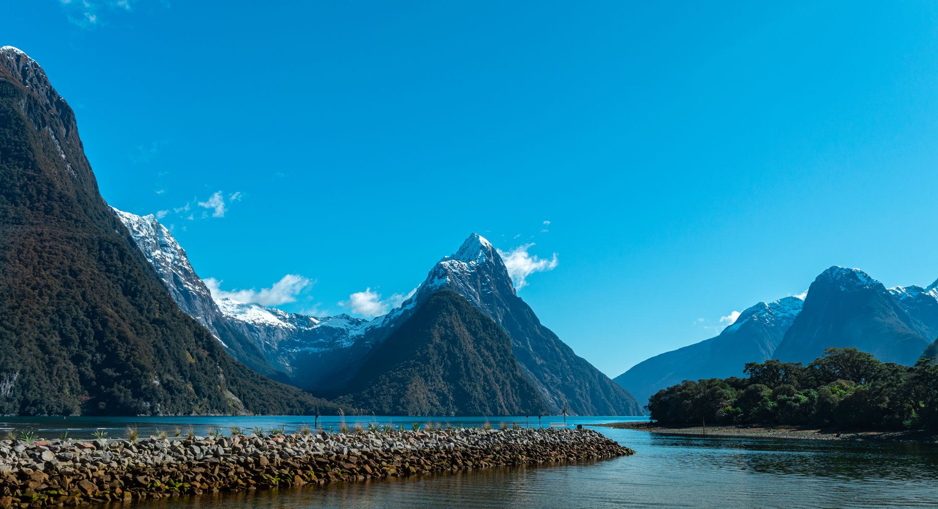
From Te Anau, the drive along the 120-kilometer Milford Road (State Highway 94) takes just under two hours. Leaving at 6:30 AM lets you drive through mossy beech forests, pass through the historic granite Homer Tunnel, and reach the fiord before the tour bus rush. Board an 8:45 AM or 9:00 AM small-boat nature cruise to glide past the sheer 1,692-meter rock wall of Mitre Peak, shower beneath the glacial spray of Stirling Falls, and watch basking fur seals on rocky ledges.
The Wild West Coast & Glaciers: Haast Pass to Franz Josef (Days 10–11)
Heading north from Wanaka through the Haast Pass brings you to the wild West Coast (Te Tai Poutini), an untamed wilderness sandwiched between the crashing Tasman Sea and the Southern Alps.
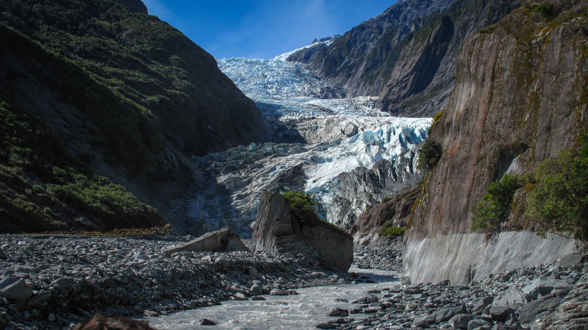
Stop at the Blue Pools near Makarora to walk through native beech forest to suspension bridges spanning crystalline azure river canyons. Further north, explore the twin glacier valleys of Fox Glacier and Franz Josef Glacier. Because of rapid climate retreat and rockfall hazards, terminal face walks view the ice from distant valley lookouts; walking directly onto the blue ice requires booking a helicopter heli-hike tour.
Arthur’s Pass Alpine Crossing & Castle Hill (Days 12–13)
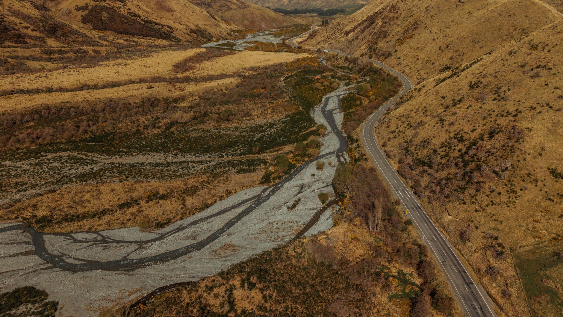
Complete your alpine loop by turning east across State Highway 73 through Arthur’s Pass National Park. The road scales vertical mountain gorges via the dramatic Otira Viaduct, a 440-meter elevated engineering marvel.
Stop at the Otira Lookout to photograph the road winding through alpine scree. Keep an eye out for the Kea—the world’s only alpine parrot. Highly intelligent and inquisitive, these olive-green birds are notorious for chewing campervan rubber window seals and investigating open backpacks.
Before descending to the Canterbury Plains, explore Castle Hill (Kura Tawhiti), where massive, weathered limestone rock boulders rise dramatically out of tussock grass. Wander through the natural stone labyrinth, revered by local Ngāi Tahu Māori as a sacred cultural landscape.
Campervan Freedom Camping Laws & Sandfly Defense
Keep these critical operational rules in mind across the South Island:
- Updated Freedom Camping Legislation: You can only "freedom camp" on designated council public lands if your campervan displays an official green Certified Self-Contained (CSC) warrant with a permanently plumbed toilet. Portable camping toilets in non-certified vans are no longer legal for freedom camping. Fines are an immediate, non-negotiable $400 NZD. Download the CamperMate or Rankers apps to locate legal Department of Conservation (DOC) campsites and dump stations.
- The West Coast Sandfly Menace: Tiny biting blackflies (sandflies or namu) swarm along West Coast rivers, lake shores, and Milford Sound. Standard aerosol repellents are ineffective; purchase local high-strength DEET repellents or natural "Goodbye Sandflies" oil, wear long socks, and keep campervan insect screens closed at all times.
- Strict Airport Biosecurity: To protect its agriculture and native forests, New Zealand enforces zero-tolerance biosecurity at Auckland (AKL) and Christchurch (CHC). You must declare all hiking boots (soles must be scrubbed completely clean of dirt, mud, and seeds), camping gear, and all food items (fresh fruit, honey, and meat are strictly prohibited). Failing to declare bio-risk items incurs an immediate, non-negotiable $400 NZD fine.
- Mandatory Electronic Travel Authority (NZeTA): Ensure you secure your approved NZeTA and pay the International Visitor Conservation and Tourism Levy (IVL) online via the official Immigration New Zealand portal prior to flight departure.
Mobile Connectivity Across the Southern Alps with NXTL
Driving the South Island requires dependable mobile data to check real-time road conditions and chain restrictions on the NZ Transport Agency (NZTA Journey Planner) app, monitor rapidly changing mountain weather fronts on MetService, and reserve DOC campsite spots.
Skip the expensive tourist SIM kiosks at Auckland and Christchurch airports. By setting up the NXTL New Zealand eSIM before departure, your phone connects automatically upon landing to New Zealand’s premier tier-1 telecom providers—Vodafone / One NZ (5G/LTE) and Spark (5G/LTE)—with rates starting from just $1.17/GB.
You enjoy dependable cellular internet through towns, lakeside camps, and state highway corridors. Honest Coverage Note: State Highway 94 beyond Te Anau Downs through the Homer Tunnel into Milford Sound has zero cellular reception from any mobile network—be sure to download offline maps on Google Maps or Maps.me before leaving Te Anau. Because NXTL operates on a flexible, non-expiring balance model, your unused credit stays safely in your account for your next international journey, while dual-SIM support keeps your primary home SIM online for banking verification texts without expensive roaming fees.