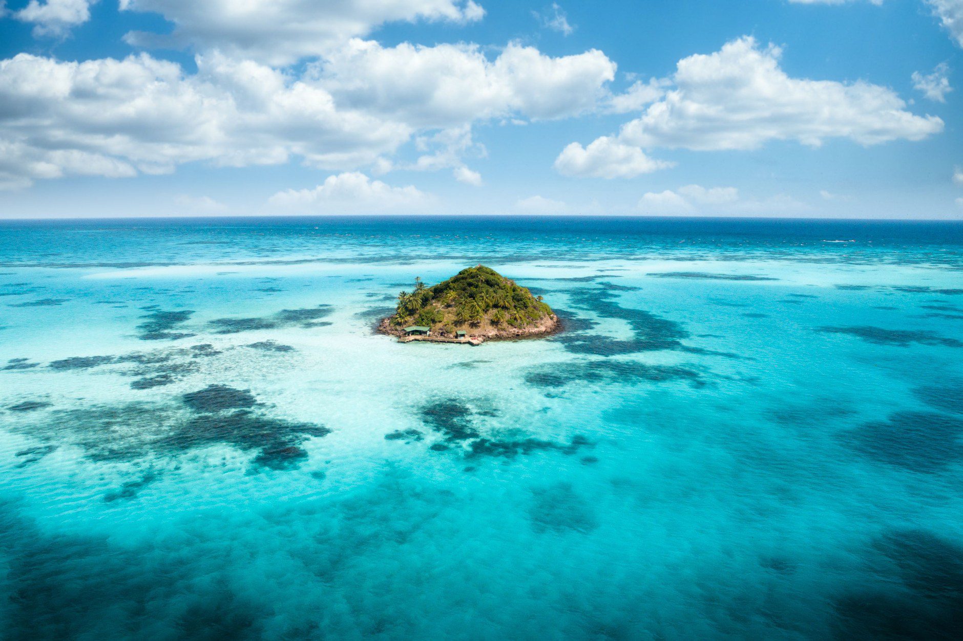
Saint Vincent and the Grenadines is an archipelago of geographical contrasts, comprising thirty-two islands stretching across forty miles of open Caribbean water. The mainland of Saint Vincent is raw and volcanic—defined by cloud-forested peaks, dark volcanic sand coastlines, and the steaming crater of La Soufrière. Drift south into the Grenadines, however, and the terrain shifts into low-lying coral cays, golden-sand anchorages, and turquoise lagoons. Choosing how to bridge these two environments defines whether your trip succeeds or falters.
The most common planning error is assuming effortless island-hopping. In reality, scheduled public ferries run frequently only between the mainland and Bequia. Traveling further south to Canouan, Mayreau, and Union Island depends on infrequent passenger boats, domestic air shuttles, or private charters. For a first-time visitor with seven or eight days, the most practical itinerary focuses on three bases: two days exploring mainland Saint Vincent’s volcanic terrain and heritage, three days on Bequia with its maritime culture, and a dedicated marine day trip into the turquoise lagoons of the Tobago Cays.
Mainland Strategy: Volcanic Peaks and Botanical Heritage
Begin on mainland Saint Vincent, arriving through Argyle International Airport (SVD). Unlike resort-heavy northern Caribbean islands, mainland Saint Vincent remains largely agricultural, with steep ridges tumbling directly into the sea. Base yourself for two nights near Kingstown or along the southwestern coast around Villa Beach or Indian Bay, where sheltered water overlooks the Bequia Channel.
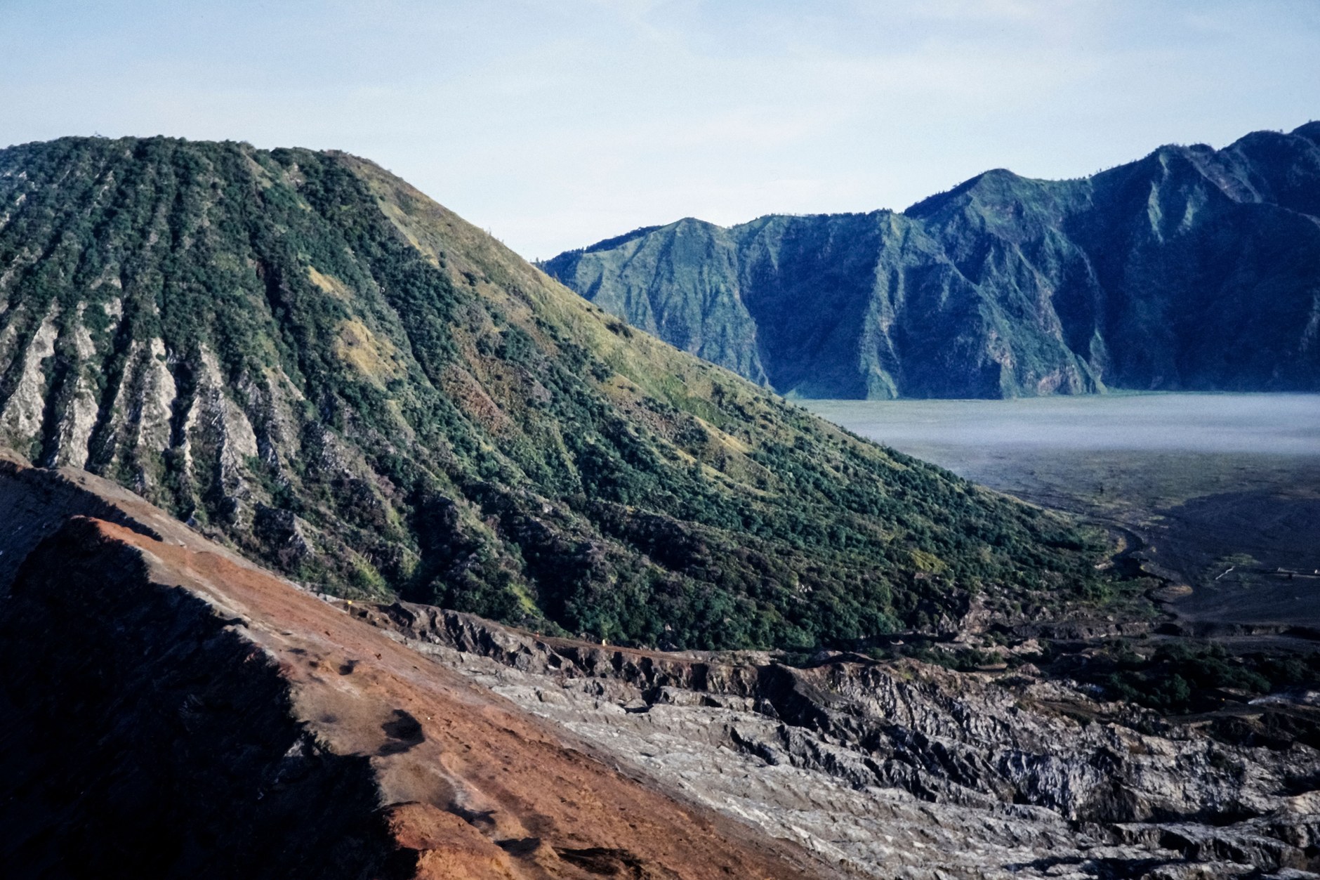
The defining geographical presence on the mainland is La Soufrière, an active stratovolcano rising 4,049 feet above the northern interior. Following its major explosive eruption in April 2021, the landscape surrounding the summit underwent dramatic transformation, stripping upper vegetation and creating a moonscape of basalt ash, active fumaroles, and new crater contours. Hiking to the crater rim takes four to five hours return along the Leeward Trail from Richmond or the Windward Trail from Rabacca.
This ascent should never be undertaken independently. Fast-moving cloud banks frequently engulf the mountain ridges, reducing visibility to several yards and obscuring steep ravine drop-offs. Hiring a certified national park guide ensures safe footing across loose pyroclastic scree and monitored geological updates. Check official seismic bulletins before departure, as summit access closes during elevated unrest.
Heritage Pathways and Leeward Black Sands
On your second mainland day, balance the volcanic intensity of the north with the cultural and ecological heritage of southern Saint Vincent. Begin just north of downtown Kingstown at the Saint Vincent Botanical Gardens. Established in 1765 during British colonial administration, this twenty-acre sanctuary is the oldest botanical garden in the Western Hemisphere, created originally to cultivate medicinal plants and secure commercial crop species.
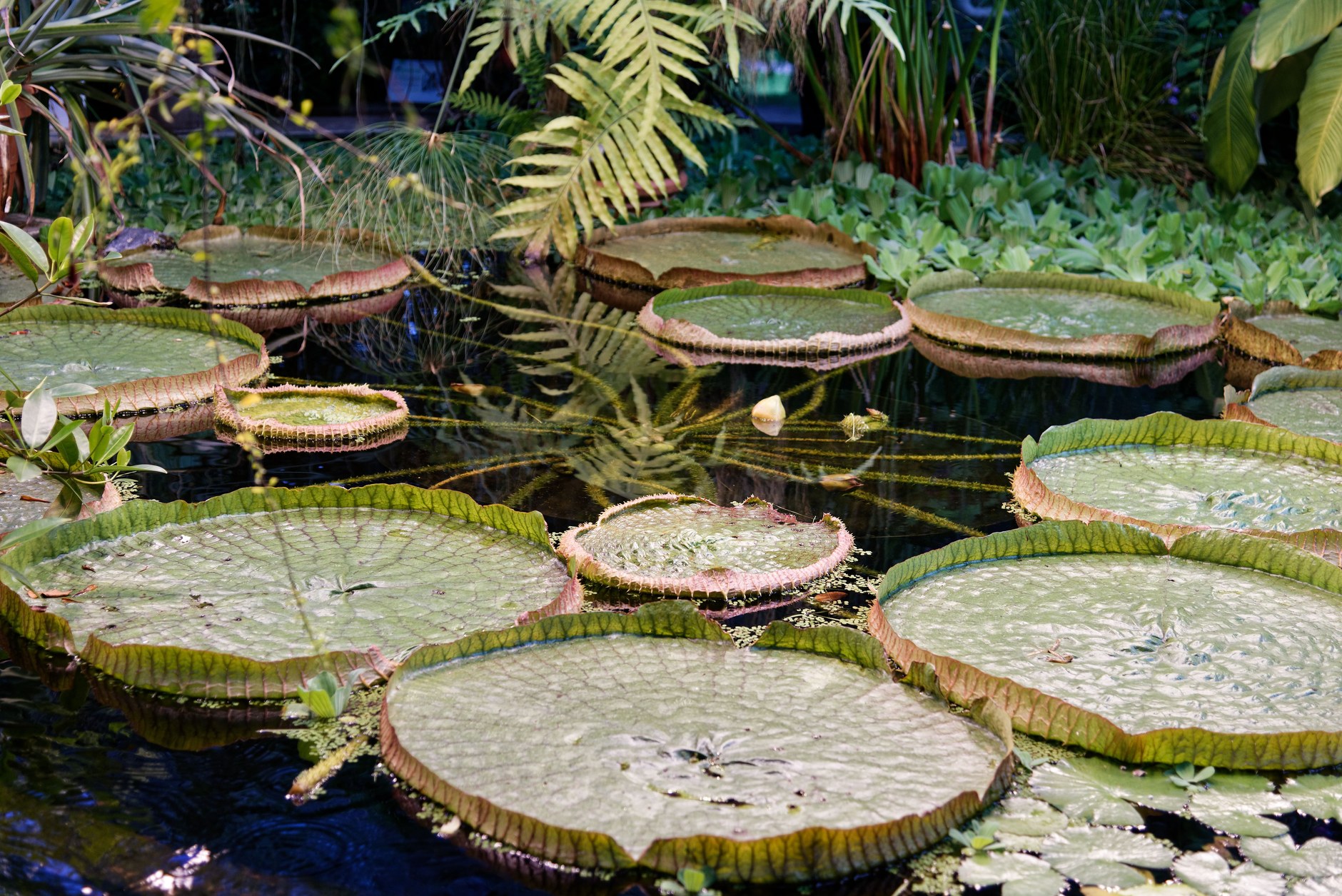
Strolling through the grounds reveals mature mahogany trees, cannonball trees, and exotic orchids. The centerpiece is a thriving descendant of the original breadfruit tree brought from Tahiti by Captain William Bligh aboard HMS Providence in 1793. The upper grounds house the Nicholas Wildlife Complex, which breeds the endemic Saint Vincent parrot (Amazona guildingii), the bronze-and-green national bird.
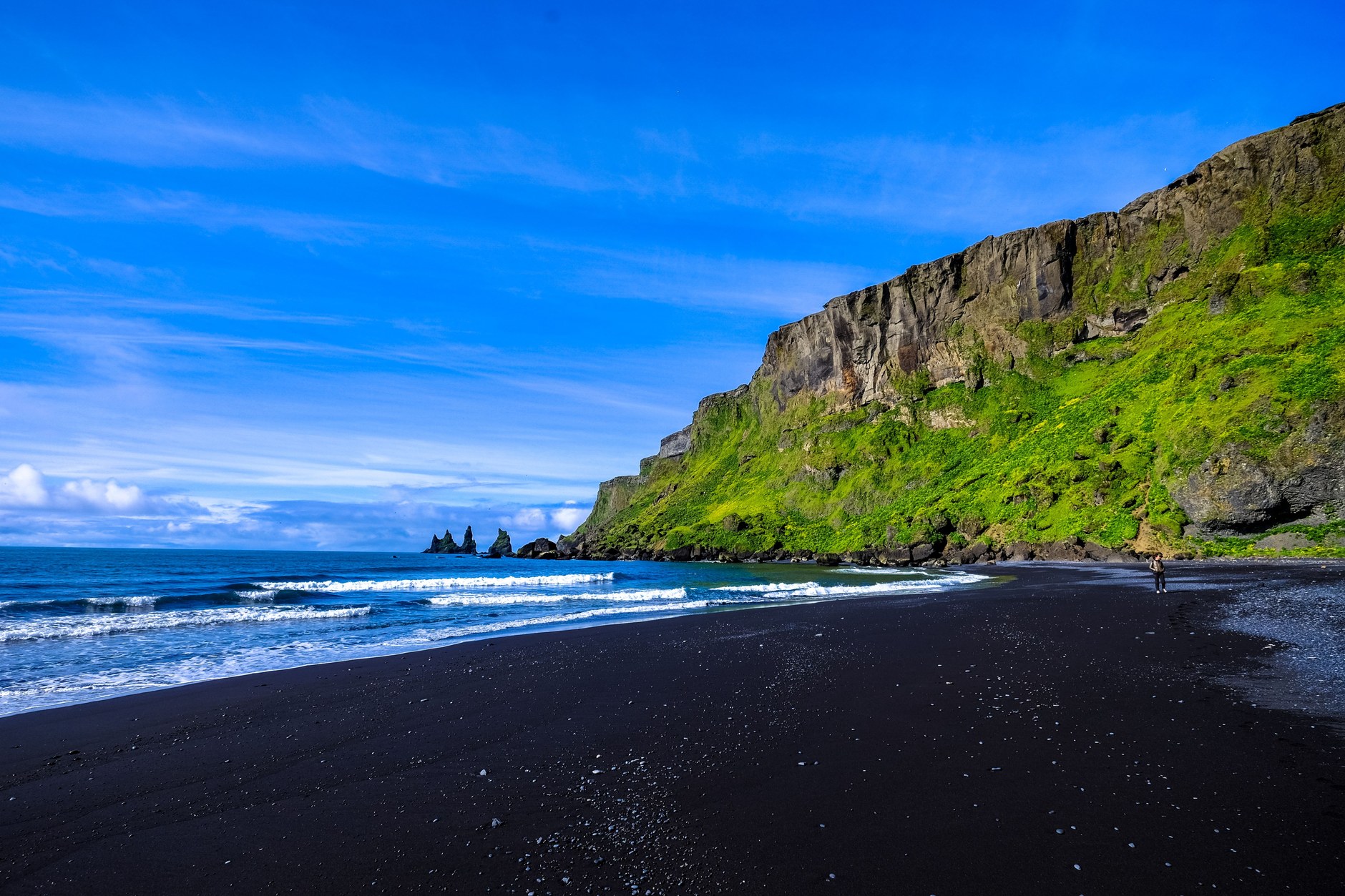
From Kingstown, travel north along the Leeward Highway toward Cumberland Bay and Wallilabou. This winding coastal road hugs shear cliffs, passing small fishing villages where dugout canoes rest along black volcanic sand shores. At Wallilabou Bay, stone arches remain from the filming of Pirates of the Caribbean. The calm cove offers an easy introduction to swimming off volcanic black sand, where waters remain sheltered from Atlantic swells.
Before leaving the leeward corridor, take a short inland detour to Dark View Falls. Maintained by a local community eco-tourism cooperative, the site features two cascading waterfalls tumbling over high basalt cliff faces into natural swimming pools. Reaching the falls requires crossing a bamboo footbridge suspended over the Richmond River, followed by a shaded five-minute walk through bamboo groves and giant ferns. Swimming in the cool mountain pool provides welcome refreshment before returning to Kingstown.
Crossing the Channel: The Bequia Passage
Transitioning from the volcanic mainland to the Grenadines should be executed via the Kingstown ferry terminal to Bequia. While private water taxis offer crossings, the open Bequia Channel faces powerful ocean swells. Public roll-on roll-off ferries provide the safest, most stable passage.
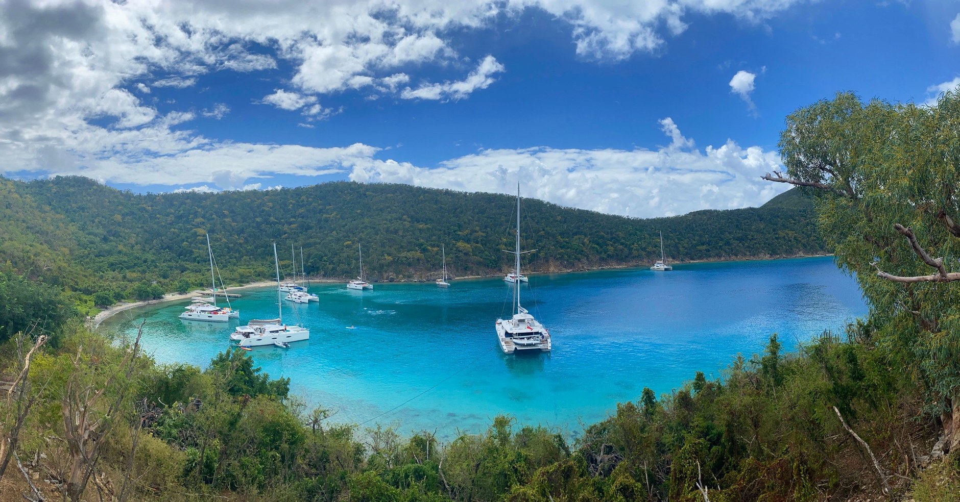
Two primary ferry operators, Bequia Express and Admiralty Transport, provide multiple daily sailings between Kingstown and Port Elizabeth. The one-hour crossing costs approximately twenty-five Eastern Caribbean Dollars each way. Stepping onto the ferry deck offers sweeping views of Saint Vincent’s receding peaks before the gentle green slopes of Bequia rise on the horizon. Approaching Port Elizabeth reveals Admiralty Bay, one of the finest natural harbors in the Caribbean, dotted with classic wooden sailing schooners, international cruising yachts, and colorful water taxis.
Port Elizabeth is the social heartbeat of Bequia. Life in Port Elizabeth moves at an unhurried maritime rhythm. Wooden boardwalks along the Belmont Walkway connect waterfront cafés, open-air markets, and stone churches. Bequia preserves a renowned boatbuilding heritage: visit Sargeant Brothers Model Boat Shop to watch master craftsmen carve intricate cedar replicas of traditional schooners and whaleboats, complete with authentic rigging.
Bequia: Golden Beaches and Maritime Culture
Base yourself on Bequia for three nights, selecting a guesthouse or small inn overlooking Admiralty Bay or Lower Bay. The island spans just seven square miles, making it easily navigable on foot, via open-backed dollar vans, or in a rented compact vehicle.
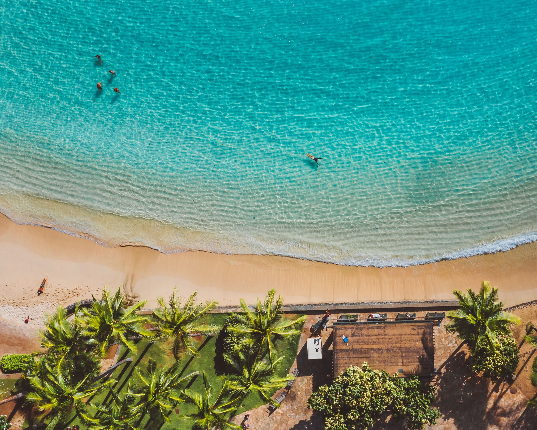
Follow the Belmont Walkway south around the headland to Princess Margaret Beach. Named after the British royal who visited in 1958, this golden-sand arc is sheltered from tradewinds, creating calm turquoise swimming shallows. Behind the palms, Jack’s Beach Bar serves cold Hairoun beer and grilled kingfish on a shaded deck.
A short trail over a stone promontory leads into Lower Bay, a wider stretch of sand fronting a traditional fishing community. Here, calm waters invite long afternoon swims, while informal spots like Dawn’s Creole Tea Garden serve conch fritters and rotis. For wider views across the Grenadines, take a taxi up to Hamilton Fort, where colonial cannons point toward the distant silhouettes of Mustique and Canouan.
The Crown Jewel: Tobago Cays Marine Park
On your sixth day, embark on a full-day sailing excursion to the Tobago Cays Marine Park, situated fifteen miles south of Bequia. Because public ferries do not serve this uninhabited archipelago, book an organized day charter aboard a classic catamaran like the Friendship Rose or a day cruiser from Admiralty Bay.
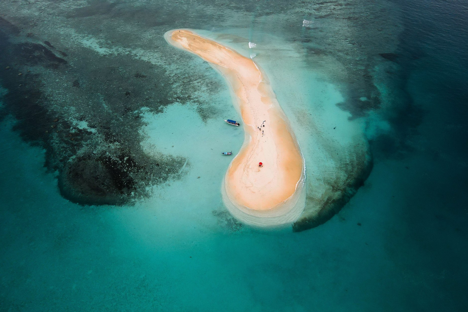
The Tobago Cays comprise five uninhabited islets—Petit Rameau, Petit Bateau, Baradal, Jamesby, and Petit Tabac—enclosed by Horseshoe Reef. The barrier reef absorbs the Atlantic swell, turning the interior lagoon into an aquarium of turquoise shallows, powdery sand spits, and thriving coral formations. The color contrast between deep ocean sapphire and shallow aquamarine is striking.
Anchor near the Baradal Turtle Sanctuary, a strictly protected marine zone where motorized craft are restricted. Slipping into the warm, waist-deep water with a mask and snorkel allows you to swim alongside wild green sea turtles and hawksbill turtles grazing peacefully on bottom seagrass beds. They display almost complete indifference to human presence, surfacing gently for air within arm’s reach.
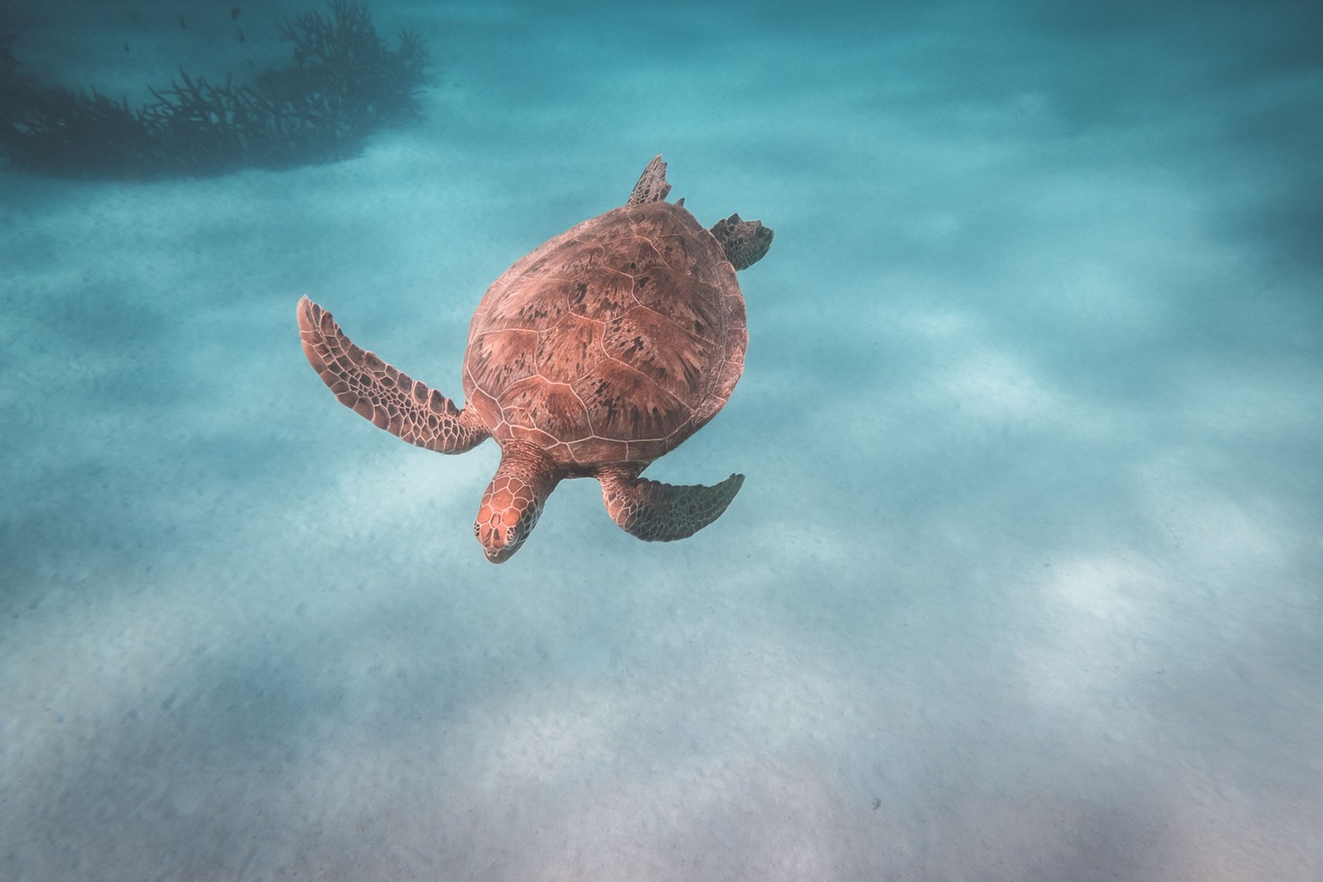
Swim across to Horseshoe Reef to explore dense coral gardens populated by elkhorn coral, brain coral, and schools of blue tang, angelfish, and spotted eagle rays. Lunch in the Cays is a cherished ritual: licensed boatmen grill fresh spiny lobsters caught outside park boundaries over drum barbecues on Petit Bateau, served with garlic butter, plantains, and rice.
The Southern Grenadines: Mayreau and Union Island
Most catamaran excursions combine the Tobago Cays with a stop at neighboring Mayreau. Spanning barely 1.5 square miles with a population under three hundred, Mayreau is the smallest inhabited island in the Grenadines. Saltwhistle Bay, on the island’s northern tip, is a double crescent of powder-soft white sand where tranquil turquoise water laps on the leeward side while Atlantic breezes rustle coconut palms on the windward spit.
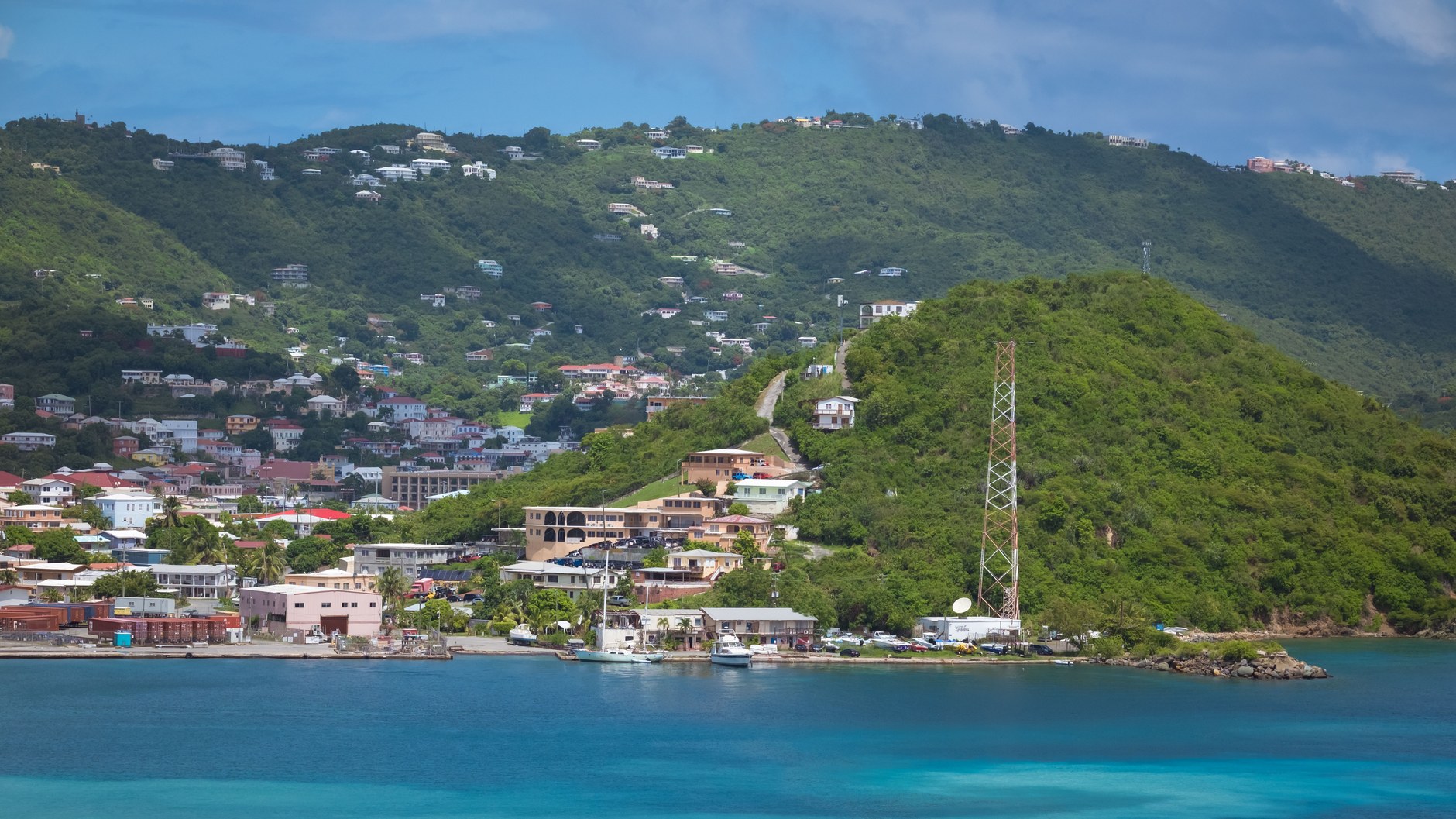
Take thirty minutes to walk the steep lane up into Mayreau’s village on Station Hill. Behind the stone Church of the Immaculate Conception lies a classic Caribbean viewpoint: an aerial panorama looking across the sapphire waters of the Grenadines directly down onto the turquoise crescent of the Tobago Cays and the spires of Union Island.
Union Island is the southern transport hub of the Grenadines. With a craggy silhouette resembling a miniature Tahiti, Union centers on the port of Clifton, where kitesurfers gather at Frigate Rock and water taxis ferry visitors to Happy Island, built atop conch shells on a shallow reef. Union also provides airstrip connections back to Saint Vincent via SVG Air.
7-Day Saint Vincent & Grenadines Travel Itinerary
This compact itinerary balances the dramatic volcanic hiking of the mainland with the maritime relaxation and reef snorkeling of the Grenadines. Transit times account for realistic ferry schedules and maritime crossings.
| Day / Stage | Base | Highlights | Transport Mode | Transit Time | Advance Booking Requirement |
|---|---|---|---|---|---|
| Day 1 | Saint Vincent (Villa) | Argyle arrival, Villa Beach sunset, fresh seafood dinner | Airport taxi | 30 mins from SVD | Arrange airport transfer via guesthouse |
| Day 2 | Saint Vincent (Villa) | La Soufrière volcano guided crater rim summit hike | Private 4WD / taxi | 1.5 hours drive each way | Mandatory certified guide booking 3 days ahead |
| Day 3 | Saint Vincent (Villa) | Botanical Gardens Kingstown, Dark View Falls, Wallilabou | Rental car or private driver | 2.5 hours total driving | Reserve driver or rental vehicle in advance |
| Day 4 | Bequia (Port Elizabeth) | Kingstown ferry to Bequia, Belmont Walkway, model boats | Public passenger ferry | 1 hour sea crossing | Check Bequia Express or Admiralty schedule |
| Day 5 | Bequia (Port Elizabeth) | Princess Margaret Beach, Lower Bay, Jack’s Beach Bar | Walking / water taxi | 10 mins walk / boat | No advance booking required |
| Day 6 | Bequia (Port Elizabeth) | Full-day sailing charter to Tobago Cays & Saltwhistle Bay | Catamaran sailing charter | 6–7 hours total excursion | Reserve catamaran excursion 1–2 weeks prior |
| Day 7 | Bequia / Saint Vincent | Morning swim, ferry return to Kingstown, airport transfer | Ferry & taxi / flight | 2 hours total transit | Coordinate ferry departure with return flight |
Field Connectivity and Navigation Logistics
Maintaining reliable mobile connectivity across an archipelago requires understanding marine cellular footprints. While international roaming packages often falter when moving between island jurisdictions, domestic cellular coverage provided by Cable & Wireless (Flow) delivers strong LTE signal across populated coastal settlements in Saint Vincent, Bequia, and Union Island. Installing an NXTL Saint Vincent and the Grenadines eSIM before departing ensures instantaneous data access the moment your flight lands at Argyle or your ferry docks in Admiralty Bay. Your balance never expires, and unused credit stays available for later trips across more than 180 countries.
Reliable mobile internet is vital for island transit: ferry operators adjust sailings based on sea conditions, and live data lets you check schedules online, coordinate water taxi pickups from Lower Bay, and cache marine charts before entering the Tobago Cays where towers are distant. Dual-SIM functionality keeps your home line active for two-factor banking SMS codes while routing data through your local eSIM.
Seasonal Decisions: Tradewinds and Tropical Weather
The climate of Saint Vincent and the Grenadines divides into two primary periods: the dry season running from December through May, and the wet season lasting from June through November. The dry season brings steady, refreshing northeast tradewinds known locally as the Christmas Winds, producing clear skies, exceptional sailing conditions, and optimal underwater visibility for reef snorkeling. Daytime temperatures average 82 degrees Fahrenheit, with comfortable evening breezes.
The wet season brings higher humidity and frequent tropical downpours. Because Saint Vincent lies in the southern Caribbean, direct hurricane hits are less frequent than in the north, though wet-season depressions can trigger flash flooding along mountain roads. Channel crossings also turn rougher between July and October. For hiking and sailing, visit between January and April, when trails on La Soufrière are dry and marine conditions are calmest.
Island Transport: Ferries, Dollar Vans, and Charters
Getting around Saint Vincent and the Grenadines demands distinct transport methods depending on where you are based. On the mainland, driving is on the left side of the road. Roads are steep, winding, and often lack guardrails or street lighting. For travel between Kingstown and rural communities, colorful privately owned minibuses known as “dollar vans” run fixed routes, playing loud soca music and offering inexpensive transit. For summit hikes or visiting leeward waterfalls, hiring a licensed taxi driver for the day is far less stressful than navigating narrow volcanic hairpin curves in a rental vehicle.
In the Grenadines, boats replace cars. On Bequia, open-backed pickup trucks with bench seats serve as shared taxis between Port Elizabeth and Lower Bay at fixed fares. Water taxis across Admiralty Bay provide fast hops between yachts, restaurants, and beaches; confirm the fare before boarding.
To reach islands south of Bequia without a chartered yacht, your options are either the domestic air bridge operated by SVG Air, which connects Saint Vincent (SVD), Bequia (BQU), Canouan (CIW), and Union Island (UNI) aboard small nine-seater planes, or the traditional government mailboat and cargo ferries (MV Barracuda and MV Gem Star) that run only two to three days per week on irregular timetables.
Currency and Financial Realities
The official currency is the Eastern Caribbean Dollar (XCD), which is pegged to the United States Dollar at a fixed rate of approximately 2.70 XCD to 1 USD. US dollars are widely accepted throughout the hospitality sector, including hotels, dive shops, and established restaurants, but change is invariably returned in Eastern Caribbean Dollars, often at less favorable exchange rates.
Cash is essential when traveling through the Grenadines. Small beach bars, local water taxi operators, craft vendors, and lobster barbecue boatmen in the Tobago Cays operate strictly on a cash-only basis. While bank ATMs operate in Kingstown, Villa, and Port Elizabeth, Mayreau has zero banking facilities and Union Island ATMs frequently run dry on holiday weekends. Withdraw adequate cash in Kingstown or Bequia before heading south.
Common Scams and Safety Precautions
Saint Vincent and the Grenadines is generally a welcoming, peaceful destination, but navigating marine and coastal tourism requires smart precautions. Maintaining situational awareness will protect your budget and safety.
- Unlicensed “Boat Boy” Solicitations in Harbors: Informal boat operators often pull alongside private charter boats or approach beachgoers aggressively offering tours, moorings, or lobster dinners. Only patronize licensed sea vendors displaying official national park certification badges or operators recommended by your accommodation.
- The “Hop-Every-Island” Ferry Misconception: Travelers often plan tight itineraries expecting frequent daily ferries between all Grenadine islands, only to discover that boats to Mayreau or Canouan run only certain weekdays. Always verify physical ferry manifests at the Kingstown dock or book domestic flights through SVG Air in advance.
- Unofficial Guides at La Soufrière Trailheads: Unqualified individuals loiter near the Rabacca trailhead offering guided volcano hikes without safety gear, first-aid training, or communication radios. Book exclusively through certified guides registered with the National Parks Authority to ensure safe navigation.
- Unfavorable US Dollar Exchange Arbitrage: Casual vendors and taxi drivers often quote prices in dollars without specifying whether they mean USD or XCD, later demanding the sum in US currency. Always clarify the currency explicitly before agreeing to any service: ask “Is that Eastern Caribbean or US dollars?”
- Unattended Belongings on Remote Coves: Leaving wallets, smartphones, and passports in bags on beaches like Princess Margaret or Cumberland Bay while snorkeling leaves them vulnerable to opportunistic theft. Use waterproof dry bags to take valuables into the water or leave passports secured in your hotel safe.
Slower and Shorter Route Adjustments
If you have only four or five days, do not attempt to visit both Saint Vincent and the southern Grenadines. The smartest adjustment is to take the ferry directly from Kingstown upon arrival and spend your entire stay on Bequia. From a base in Port Elizabeth, you can enjoy tranquil swimming, sample local cuisine, visit model boat workshops, and take a single day-trip catamaran charter to the Tobago Cays without packing and unpacking between multiple island bases.
Travelers blessed with ten to twelve days can venture deeper into the southern archipelago. From Bequia, take SVG Air or a sailing charter south to Union Island for two nights, using Clifton as a base to kitesurf, visit Mayreau’s pristine Saltwhistle Bay, and explore the tiny offshore coral retreat of Happy Island. Experienced sailors can extend further south to the private island perimeter of Petit Saint Vincent or explore the marine caves of Canouan.