For most international travelers, the Turks and Caicos Islands begin and end along a single twelve-mile crescent of sand: Grace Bay on Providenciales. With its calm turquoise water and world-class luxury resorts, Grace Bay is undeniably one of the finest beaches on earth. Yet confining your journey exclusively to this developed corridor is a common travel mistake. Providenciales is heavily commercialized, expensive, and motorized, dominated by gated villas and high-end hotel strips. Just across a narrow marine channel lie North and Middle Caicos—two massive, sparsely populated islands of wild limestone bluffs, subterranean karst caverns, quiet settlement hamlets, and completely empty Atlantic beaches.
A well-planned six- or seven-day itinerary bridges these two contrasting worlds. By dividing your stay between three days experiencing Providenciales’ marine reefs and dining culture and three days exploring the rugged topography and quiet coastal trails of North and Middle Caicos, you experience the full ecological and cultural scope of the territory. This approach also allows you to navigate the realities of Caribbean travel economics, balancing the high costs of Providenciales with the unhurried, self-sufficient exploration of the outer islands.
Providenciales: Grace Bay and Reef Realities
Your journey begins on Providenciales, arriving through Providenciales International Airport (PLS). Providenciales—known universally as “Provo”—serves as the territory’s commercial hub and primary tourism gateway. To avoid the extortionate costs of unmetered taxis, arrange to pick up a rental car directly at the airport upon arrival. Having your own vehicle is essential for exploring beyond your hotel perimeter and reaching quiet public beach accesses.
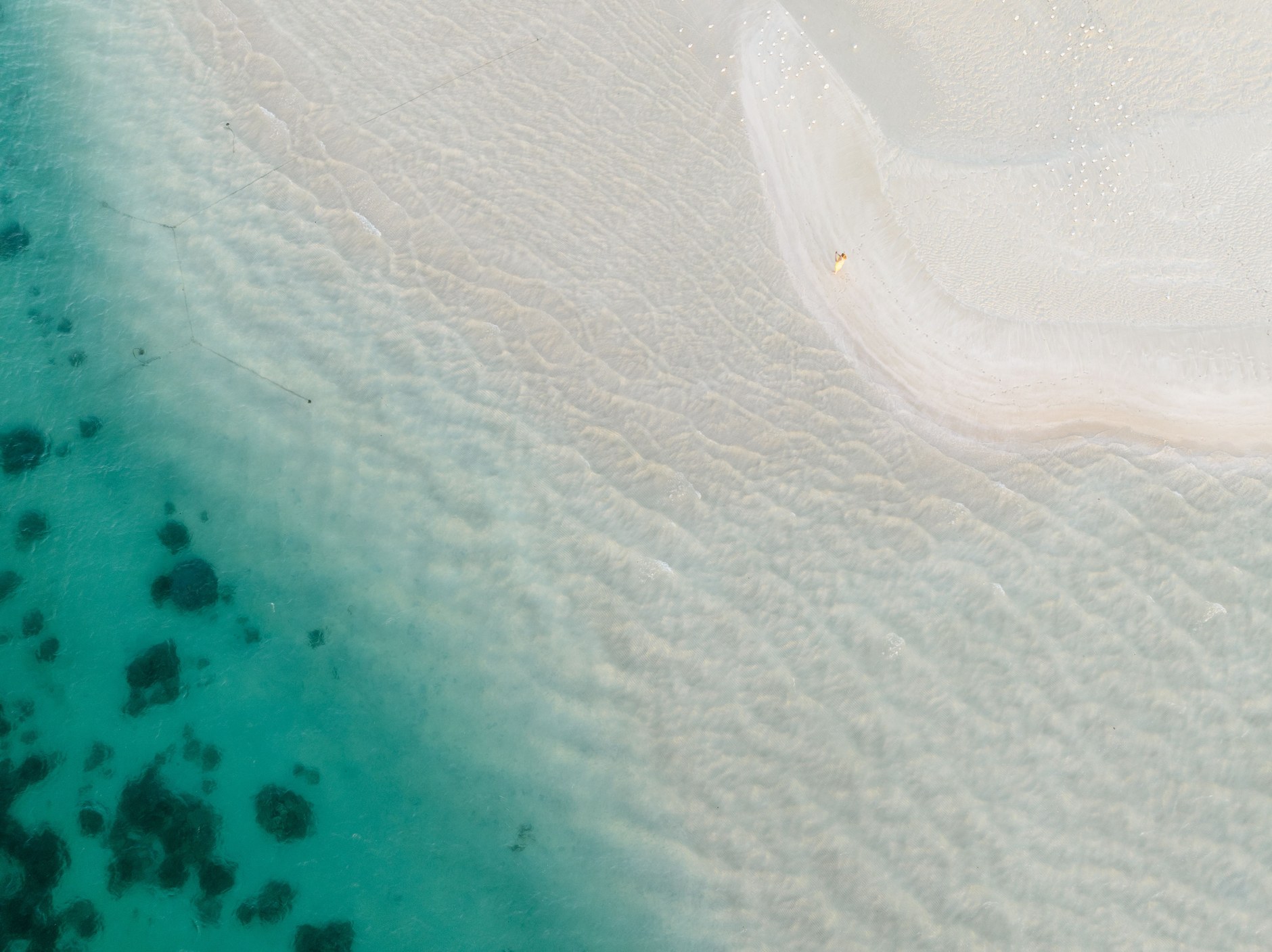
Grace Bay Beach owes its luminous clarity to a broad offshore barrier reef located approximately one mile out to sea, which breaks the Atlantic swell and preserves calm swimming conditions over soft sand flats. While luxury resorts occupy substantial beach frontage, all beaches in the Turks and Caicos are legally public up to the high-water mark. Public beach access paths with small parking lots are distributed along the corridor, including accesses near Coral Gardens and the Bight Park.
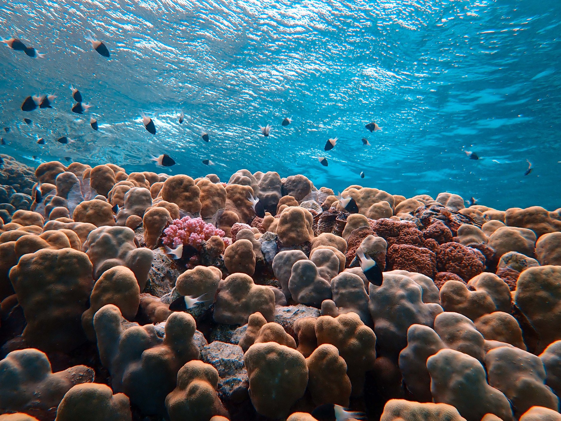
Spend your first full morning exploring the shoreline at Bight Reef (also known as Coral Gardens), situated right in front of the Coral Gardens Resort. Marked by conservation buoys, this shallow inshore reef allows snorkelers to wade directly from the sand into thriving coral heads. Within yards of the shoreline, you encounter green sea turtles grazing on seagrass beds, docile nurse sharks resting under coral ledges, and schools of yellowtail snapper and parrotfish. Remember that touching or standing on coral formations causes irreversible damage to delicate polyps and is strictly prohibited under marine park regulations.
Chalk Sound and Southern Shallows
On your second day, drive southwest across the island toward Chalk Sound National Park. This extraordinary landlocked marine lagoon features water of an almost surreal neon-turquoise hue, dotted with hundreds of miniature limestone cays that serve as protected sanctuaries for indigenous Turks and Caicos rock iguanas (Cyclura carinata).
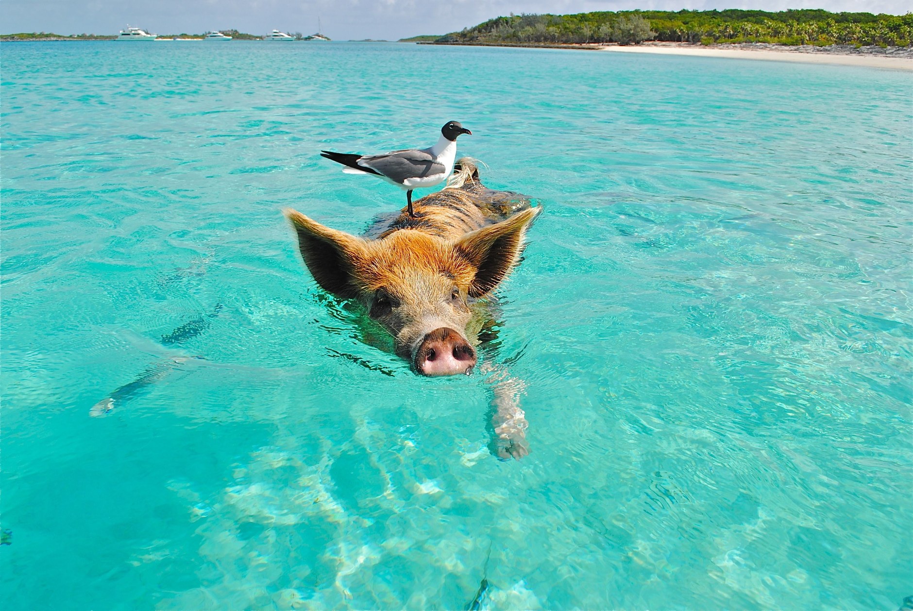
Because motorized watercraft are legally banned within Chalk Sound to protect water purity and marine habitats, the best way to experience the lagoon is by renting a kayak or stand-up paddleboard from Las Brisas restaurant along the eastern shore. Gliding silently through the shallow, bone-white limestone channels offers complete serenity away from resort activity. Keep an eye out for bonefish skimming the flats and harmless juvenile lemon sharks cruising the mangrove margins.
Just across the narrow peninsula from Chalk Sound lie two of Provo’s gentlest southern beaches: Sapodilla Bay and Taylor Bay. Both coves are exceptionally sheltered from tradewinds, featuring warm, knee-deep water extending hundreds of feet out into the sea over soft white sand. They are ideal for relaxed wading and sunset picnics. While parking can be congested on weekends, arriving before 10:00 AM guarantees easy access.
Evenings on Providenciales revolve around dining along the Grace Bay strip or attending the Thursday evening Island Fish Fry at the Bight Park. While the Fish Fry is lively and offers local grilled snapper, peas and rice, and performances by local ripsaw bands, restaurant dining on Provo is notoriously expensive. Budget for an automatic twelve percent government tourism tax and a ten to twelve percent service charge added to almost every dining bill.
The Passage to North and Middle Caicos
On your fourth morning, leave the developed resort strip behind and head east to Heaving Down Rock Marina in Leeward to board the passenger ferry to North Caicos. Caribbean Cruisin’ operates regular passenger ferries connecting Providenciales to Sandy Point Marina on North Caicos, covering the scenic crossing in approximately twenty-five to thirty minutes.

Stepping off the ferry at Sandy Point brings an immediate atmospheric shift. There are no mega-resorts, traffic lights, or chain establishments here. You must pre-arrange a rental vehicle to be waiting at the marina dock through local operators like Al’s Rent a Car or Pelican Car Rental. Exploring North and Middle Caicos is completely impractical without a private vehicle, as public transport and taxis are nonexistent across the outer islands.
North Caicos is lush and rural, historically known as the garden island of the archipelago due to higher rainfall. Drive along the main paved road through the quiet settlements of Whitby and Kew. A worthwhile cultural stop is Wade’s Green Plantation, established in 1789 by Loyalist planter Wade Stubbs. Hidden within dry tropical forest, the stone ruins of the Great House, slave quarters, and cotton storage buildings represent the most intact historic plantation site in the Lucayan archipelago.
The Causeway and Wild Middle Caicos
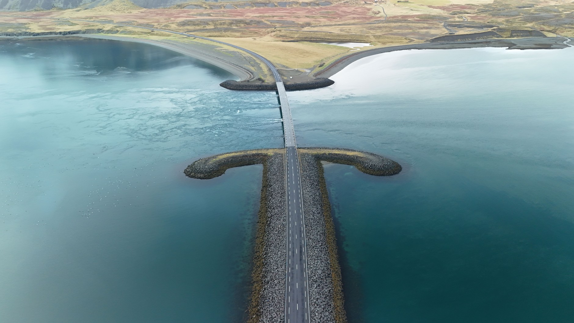
Continue east along the main arterial corridor toward the Caicos Causeway, a one-mile paved road constructed across the shallow tidal sand flats that separate North Caicos from Middle Caicos. Driving across the causeway feels like skimming across open ocean, with pale turquoise flats stretching to the horizon on both flanks.
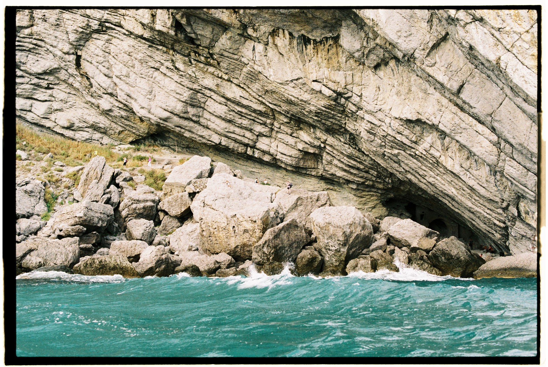
Middle Caicos is the largest island in the territory by land area (forty-eight square miles) but home to fewer than three hundred permanent residents. It is also the most topographically dramatic, featuring a rugged northern shoreline where towering limestone cliffs drop vertically into deep Atlantic surf. The absolute highlight of Middle Caicos is Mudjin Harbour, located on the island’s north coast.
Mudjin Harbour features a sweeping half-mile crescent of white sand flanked by forty-foot limestone headlands and offshore sea stacks. High on the bluff, open-air viewpoints look down onto Dragon Cay, a dramatic rocky formation connected to the mainland by a narrow sandbar at low tide. A footpath carved into the limestone cliff leads down to a hidden cave and natural rock windows where ocean swells crash into sea blowholes. While the scenery is magnificent, swimming at Mudjin Harbour requires extreme caution due to powerful Atlantic undercurrents and sudden rogue waves.
Adjacent to the bluffs, the Mudjin Bar and Grill offers fresh conch salad, cracked conch, and cold beverages overlooking the dramatic coastal panoramas. Taking an afternoon to walk the cliff-top Crossing Place Trail—a historic coastal path used for centuries by Lucayan inhabitants and early settlers—reveals secluded limestone coves where you are likely to be the only person on the sand.
Karst Caverns and Bambarra Shallows
A short drive east from Mudjin Harbour leads into the small village of Conch Bar and the entrance to Conch Bar Caves National Park. This expansive subterranean karst system spans over 1.5 miles of underground chambers and passages, making it the largest non-submerged cave network in the Lucayan archipelago.
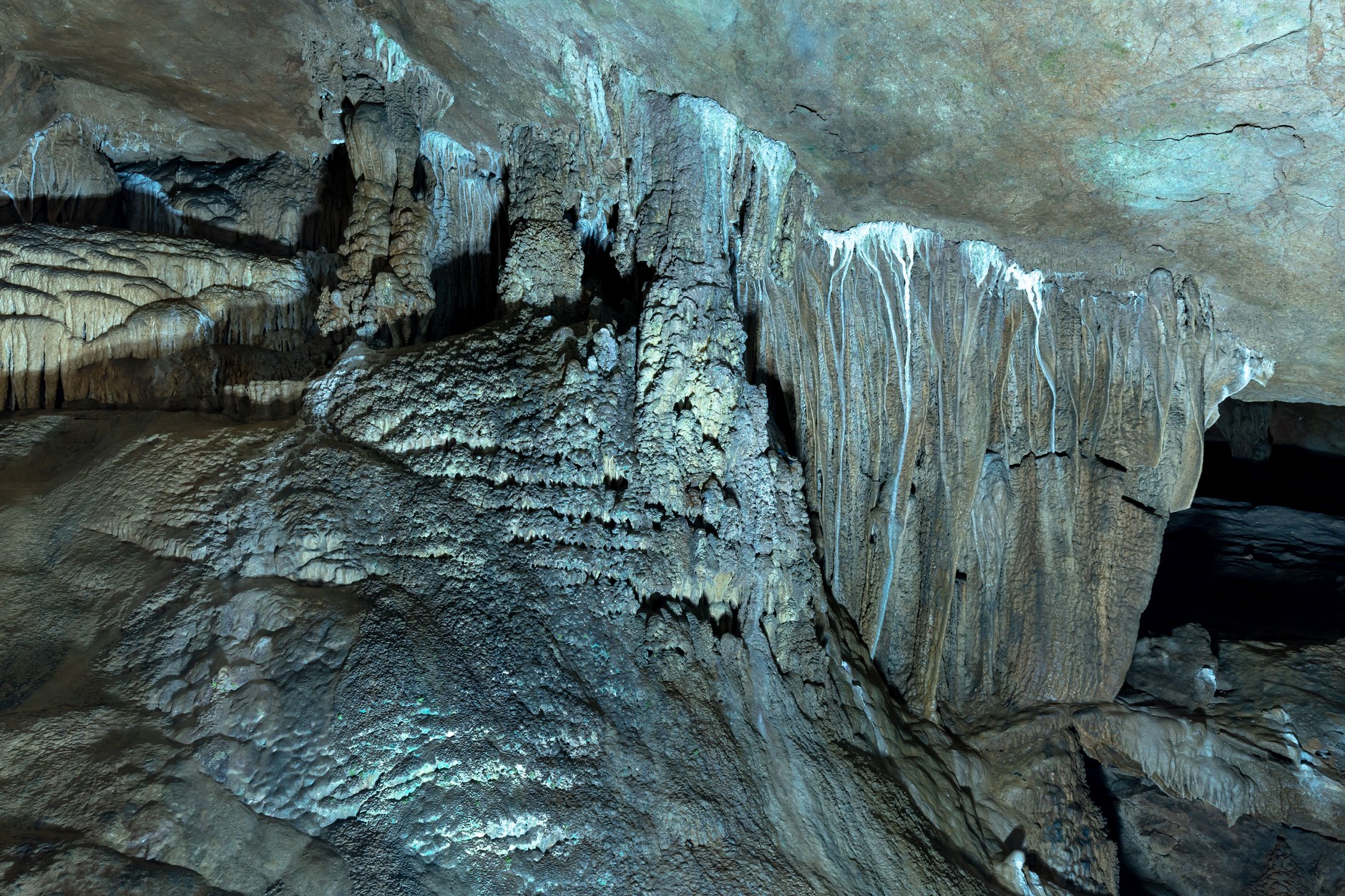
Exploring the caves requires hiring an official park guide at the entrance booth, who provides handheld flashlights and safety helmets. Walking through the dry limestone chambers reveals ancient stalactites, stalagmites, subterranean tidal pools, and bat colonies roosting high in vaulted ceiling domes. Lucayan pottery shards and ceremonial artifacts discovered here date back over six hundred years, offering tangible connection to the islands’ pre-Columbian history.
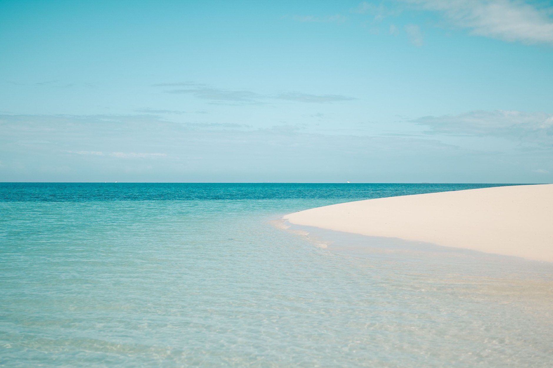
Finish your outer island expedition at Bambarra Beach on Middle Caicos’ northeastern coast. Unlike the rough surf of Mudjin Harbour, Bambarra Beach features calm, crystal-clear water lapping against soft white sand, sheltered by offshore reef barriers. The water remains shallow for hundreds of yards, allowing visitors to walk comfortably through waist-deep turquoise sea out toward Pelican Cay. Casuarina pines along the tree line provide cool shade for afternoon relaxation.
Return across the causeway to North Caicos in time for the afternoon ferry back to Providenciales, or arrange to stay overnight in a beachfront rental cottage in Whitby or Mudjin Harbour to experience the profound stillness of the outer islands under unpolluted night skies.
6-Day Turks & Caicos Travel Itinerary
This compact itinerary balances the premier reefs and dining of Providenciales with a dedicated two-day road trip across North and Middle Caicos. Travel times reflect actual driving and ferry crossing durations.
| Day / Stage | Base | Highlights | Transport Mode | Transit Time | Advance Booking Requirement |
|---|---|---|---|---|---|
| Day 1 | Providenciales (Grace Bay) | Airport arrival, rental car pickup, Grace Bay sunset walk | Rental car | 20 mins from PLS | Book rental car weeks ahead for airport pickup |
| Day 2 | Providenciales (Grace Bay) | Bight Reef morning snorkel, Coral Gardens, fish fry dining | Rental car / walking | 10 mins driving | No advance booking required for reef access |
| Day 3 | Providenciales (Chalk Sound) | Chalk Sound kayak rental, Sapodilla Bay wading & sunset | Rental car | 25 mins driving | Reserve kayak rental morning prior |
| Day 4 | North Caicos (Whitby) | Morning ferry to North Caicos, Wade’s Green Plantation | Passenger ferry & rental car | 30 mins ferry + 20 mins drive | Book TCI Ferry & outer island rental car |
| Day 5 | North Caicos (Whitby) | Causeway drive, Mudjin Harbour cliffs, Conch Bar Caves | Rental car | 45 mins total driving | Arrange guide at Conch Bar Caves entrance |
| Day 6 | Providenciales | Bambarra Beach shallows, afternoon ferry return to Provo | Rental car & ferry | 30 mins drive + 30 mins ferry | Confirm afternoon ferry departure time |

Field Connectivity and Navigation Logistics
Staying connected across the Turks and Caicos requires understanding cellular footprint differences between Providenciales and the outer islands. On Provo, local carriers Cable & Wireless (Flow) and Digicel provide robust LTE coverage across the entire Grace Bay, Leeward, and Chalk Sound corridors. Once you cross to North and Middle Caicos, coverage remains dependable along main paved roads and settlements like Whitby and Conch Bar, but drops into dead zones along isolated beaches and inside limestone caverns. Installing an NXTL Turks and Caicos eSIM before departure gives you immediate high-speed data upon landing at PLS. Your balance never expires, and unused credit stays available for later trips across more than 180 countries.
Continuous mobile internet is especially valuable when exploring the outer islands: gas stations and open restaurants on North and Middle Caicos are sparse, and having active data lets you confirm operating hours, verify afternoon ferry schedules with Caribbean Cruisin’, and download offline maps before driving into remote coastal laybys. Retaining your domestic SIM in a dual-SIM setup ensures you continue receiving essential two-factor authentication banking texts while avoiding expensive daily roaming charges from your home mobile provider.
Seasonal Decisions: Hurricane Season and Winter Tradewinds
The Turks and Caicos climate is arid and marine, characterized by two primary seasonal phases. The peak travel season runs from December through April, featuring comfortable temperatures averaging 80 degrees Fahrenheit, low humidity, and consistent tradewinds that keep coastal insects minimal. Ocean visibility during winter and spring is exceptional, making it the premier window for snorkeling and diving. However, this period brings premium accommodation rates and crowded restaurant bookings across Grace Bay.
The summer and autumn months (June through November) bring warmer air and sea temperatures alongside the official Atlantic hurricane season. While direct cyclone landfalls are infrequent, tropical waves can bring heavy rainfall and rough sea conditions that disrupt ferry crossings to North Caicos. Traveling during the shoulder months of May or late November offers an excellent compromise: airfare and villa rates drop noticeably, beaches are uncrowded, and weather conditions remain generally favorable for outer island exploration.
Local Transport: Cars, Taxis, and Golf Cart Risks
Navigating the Turks and Caicos requires careful transport selection. On both Providenciales and the outer islands, driving is on the left side of the road. On Providenciales, renting a standard compact car or small SUV is overwhelmingly the most economical decision. Airport and resort taxis are unmetered and charge exorbitant flat rates per passenger rather than per vehicle; a ten-minute ride for two people from Grace Bay to the airport routinely costs sixty to eighty US dollars. A multi-day car rental pays for itself within two or three trips.
Visitors are frequently tempted to rent street-legal golf carts to navigate Providenciales. While driving a golf cart around low-speed neighborhood streets in Grace Bay is manageable, taking them onto the Leeward Highway—the island’s high-speed arterial roadway—is illegal, highly dangerous, and causes severe traffic hazards. Stick to standard passenger vehicles equipped with air conditioning for island-wide travel.
On North and Middle Caicos, road conditions on paved corridors like the Causeway are generally good, but spur roads leading to secluded beaches like Bambarra or remote trailheads consist of crushed limestone gravel. Drive cautiously to avoid tire punctures from sharp limestone outcroppings, and always return your rental car with the agreed fuel level, as outer island fuel stations close early in the afternoon.
Budget Realities and Currency Realities
The official currency of the Turks and Caicos Islands is the United States Dollar (USD). Credit cards (Visa and Mastercard) are universally accepted across Providenciales for hotels, dining, and car rentals. However, on North and Middle Caicos, cash is absolute king: small settlement grocery stores, roadside fruit stands, and the Conch Bar Caves park office frequently experience card machine offline issues and prefer cash payment.
Travelers must prepare for exceptionally high baseline costs throughout the territory. Because nearly all food, fuel, and consumer goods are imported by container ship from Florida, supermarket grocery prices are two to three times higher than US mainland averages. Furthermore, government taxes add twelve percent to all lodging and restaurant transactions, typically augmented by an automatic ten to twelve percent service fee. Carrying adequate cash denominations (tens and twenties) is essential for small transactions, beach rentals, and outer island excursions.
Common Scams and Practical Pitfalls
The Turks and Caicos Islands maintain one of the lowest violent crime rates in the Caribbean, but visitors frequently encounter frustrating financial and logistical pitfalls. Being informed ensures an untroubled journey.
- Per-Person Taxi Gouging at PLS Airport: Unmetered airport taxi operators frequently quote arbitrary fares, then multiply the total by the number of passengers upon arrival at your resort. Always insist on confirming the complete flat price for your entire party before entering the vehicle, or pre-book an airport car rental.
- Hazardous Golf Cart Rental Solicitations: Unlicensed rental agencies advertise golf carts as easy island transportation without explaining that driving on the Leeward Highway is restricted and dangerous. Avoid golf carts for island exploration; use a standard rental automobile.
- Limestone Gravel Vehicle Damage Disputes: Driving along rocky spurs on Middle Caicos can scrape undercarriages or puncture tires. Inspect your vehicle thoroughly during pickup at Sandy Point Marina, photograph existing scratches in daylight, and decline unpaved tracks beyond your vehicle’s clearance.
- Mudjin Harbour Undercurrents and Blowhole Hazards: The dramatic surf around Dragon Cay creates powerful hidden undertows, and rogue waves frequently wash over rocky blowhole platforms. Never attempt to swim outside the sheltered sand spit, and avoid standing near slick cliff edges during high swell conditions.
- The Sunday Ferry Schedule Lockout: Passenger ferries between Providenciales and North Caicos operate on reduced schedules on Sundays. Missing the final late-afternoon ferry will leave you stranded on North Caicos overnight with no vehicle access to Provo and scarce walk-in lodging availability.
Slower and Shorter Route Adjustments
If you have only four days in the territory, do not attempt to divide your stay with an overnight on North Caicos. Instead, base yourself on Providenciales for the entire visit and book a single full-day guided excursion to North and Middle Caicos. This allows you to experience Mudjin Harbour and Conch Bar Caves via morning and afternoon ferry connections without the logistical complexity of transferring luggage or juggling multiple rental cars.
Travelers with nine to ten days can expand their itinerary to include Grand Turk, the historic administrative capital of the territory located seventy miles east. Connected to Providenciales via domestic flights on InterCaribbean Airways, Grand Turk features colonial Bermudian architecture in Cockburn Town, wild donkeys roaming the streets, historic salt salinas, and world-renowned scuba diving along the dramatic seven-thousand-foot drop-off of the Grand Turk wall.